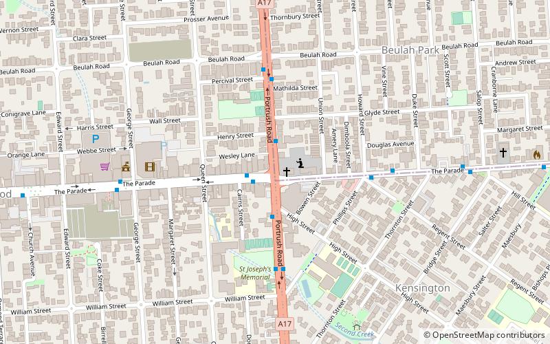
Mary MacKillop College, Adelaide
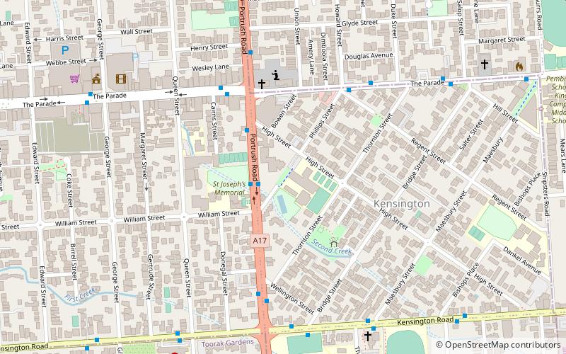
Map
Facts and practical information
Mary MacKillop College is a Catholic girls secondary school in the Adelaide suburb of Kensington. The Josephite sisters have been providing Catholic education in Kensington since 1872 six years after the order was founded by Mary MacKillop, who lived in the Kensington district for eleven years. Since then several sites in the area have been used as schools; the current secondary college developed out of a "cottage school" on the grounds of the convent across the road. ()
Coordinates: 34°55'23"S, 138°38'31"E
Day trips


Frequently Asked Questions (FAQ)
Which popular attractions are close to Mary MacKillop College?
Nearby attractions include Clayton Wesley Uniting Church, Adelaide (5 min walk), Norwood Town Hall, Adelaide (7 min walk), St Matthew's Church, Adelaide (9 min walk).