St Matthew's Church, Adelaide
Map

Map

Facts and practical information
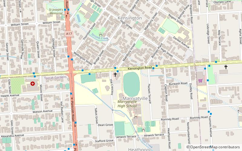
St Matthew's Church is a heritage listed Anglican church in Marryatville, an inner eastern suburb of Adelaide, South Australia. It was established in 1848 and consecrated in 1849. It is adjacent to Marryatville High School. ()
Coordinates: 34°55'38"S, 138°38'42"E
Day trips
St Matthew's Church – popular in the area (distance from the attraction)
Nearby attractions include: Burnside Village, Hazelwood Park, Norwood Place, Clayton Wesley Uniting Church.
Frequently Asked Questions (FAQ)
Which popular attractions are close to St Matthew's Church?
Nearby attractions include Mary MacKillop College, Adelaide (9 min walk), Clayton Wesley Uniting Church, Adelaide (13 min walk), Norwood Town Hall, Adelaide (15 min walk), Langman Reserve, Adelaide (20 min walk).


