Royal Sydney Golf Club, Sydney
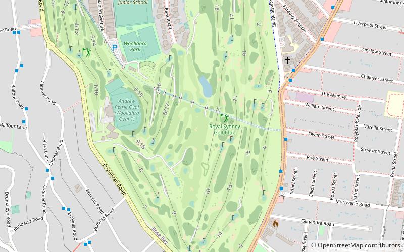
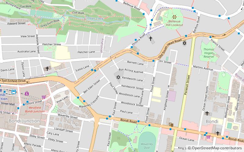
Map
Facts and practical information
Royal Sydney Golf Club is golf club in Rose Bay, New South Wales, Australia, a suburb of Sydney. ()
Established: 1893 (133 years ago)Coordinates: 33°52'44"S, 151°16'1"E
Getting there by public transportation
Public transportation stops near this location
- Bus
- Train
- Ferry
 Bus
Bus
- Calculate routeGlenayr Av Opp Warners Av 16 min walk
- Calculate routeMurriverie Rd At Hardy St 16 min walk
- Calculate routeRose Bay Wharf 17 min walk
- Calculate routeBondi Junction 35 min walk
Maps Sydney TrainsMaps
 Sydney Light RailMaps
 Sydney Ferries
Sydney TrainsMapsSydney Light RailMapsSydney FerriesDay trips


Frequently Asked Questions (FAQ)
Which popular attractions are close to Royal Sydney Golf Club?
Nearby attractions include St Anne's Catholic Church, Sydney (17 min walk), Rose Bay Sea Wall, Sydney (19 min walk), Fernleigh Castle, Sydney (21 min walk), Site of Ficus superba var. henneana tree, Sydney (22 min walk).
How to get to Royal Sydney Golf Club by public transport?
The nearest stations to Royal Sydney Golf Club:
Bus
Ferry
Train
Bus
- Glenayr Av Opp Warners Av • Lines: 379 (16 min walk)
- Murriverie Rd At Hardy St • Lines: 379 (16 min walk)
Ferry
- Rose Bay Wharf • Lines: F7 (17 min walk)
Train
- Bondi Junction (35 min walk)