Kingscliff

Gallery (2)
Map

Map
Gallery
Facts and practical information
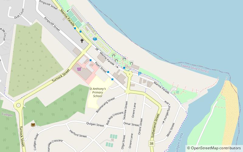
Kingscliff is a coastal town just south of Tweed Heads in the Northern Rivers region of New South Wales, Australia, and is a beach community offering a variety of holiday accommodations. Together with the villages of Chinderah and Fingal, it is a tourist destination that provides beach and estuary access for swimming, surfing, fishing and water sports. ()
Population: 7.9 thous.Coordinates: 28°15'24"S, 153°34'39"E
Location
New South Wales
ContactAdd
Social media
Add
Day trips


