Durham Hall, Sydney

Gallery (1)
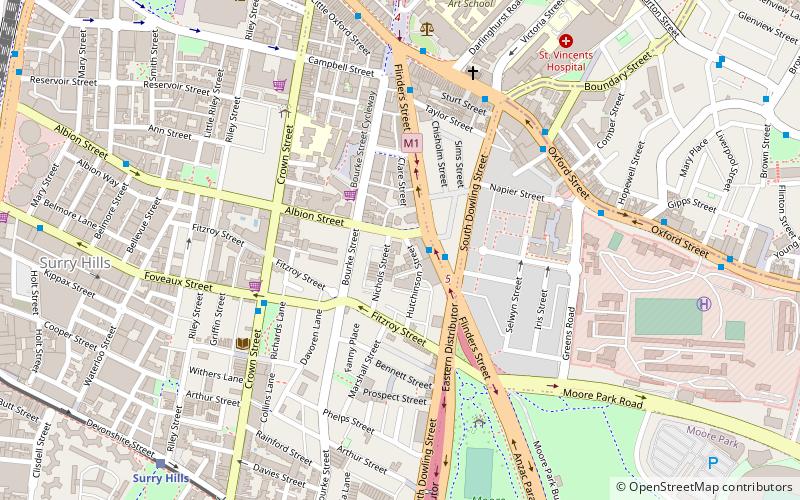
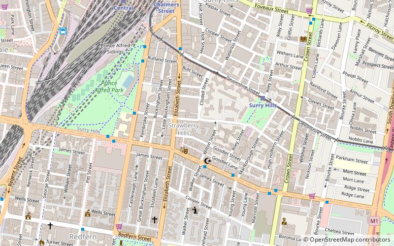
Map
Map
Facts and practical information
Durham Hall is a heritage-listed former residence, Servicemens' Club, Concordia Club and Red Cross U.S.A and now commercial offices located at 207 Albion Street in the inner city Sydney suburb of Surry Hills in the City of Sydney local government area of New South Wales, Australia. It was built from 1834 to 1835. It is also known as Concordia Club, Booker T. Washington Club and Royal College of Pathologists of Australasia. The property is owned and occupied by the Royal College of Pathologists of Australasia. It was added to the New South Wales State Heritage Register on 2 April 1999. ()
Coordinates: 33°53'3"S, 151°13'1"E
Address
South Sydney (Surry Hills)Sydney
ContactAdd
Social media
Add
Getting there by public transportation
Public transportation stops near this location
- Bus
- Light rail
- Train
- Ferry
 Bus
Bus
- Calculate routeSurry Hills 11 min walk
- Calculate routeCentral Chalmers Street 14 min walk
- Calculate routeCentral 16 min walk
- Calculate routeHaymarket 18 min walk
- Calculate routeSurry Hills, Cleveland Street nr Crown Street 15 min walk
- Calculate routeHay St opp Belmore Park 15 min walk
- Calculate routePitt St opp Barlow St 17 min walk
- Calculate routePitt St at Barlow St 17 min walk
- Calculate routeCentral 18 min walk
- Calculate routeMuseum 18 min walk
- Calculate routeKings Cross 19 min walk
- Calculate routeTown Hall 25 min walk
- Calculate routePyrmont Bay Wharf 39 min walk
Maps Sydney TrainsMaps
 Sydney Light RailMaps
 Sydney Ferries
Sydney TrainsMapsSydney Light RailMapsSydney FerriesDay trips


Frequently Asked Questions (FAQ)
Which popular attractions are close to Durham Hall?
Nearby attractions include 203-205 Albion Street, Sydney (1 min walk), St Michael's Anglican Church, Sydney (1 min walk), Bourke Street Wesleyan Chapel, Sydney (3 min walk), Chinese Presbyterian Church, Sydney (4 min walk).
How to get to Durham Hall by public transport?
The nearest stations to Durham Hall:
Light rail
Bus
Train
Ferry
Light rail
- Surry Hills • Lines: L2, L3 (11 min walk)
- Central Chalmers Street • Lines: L2, L3 (14 min walk)
Bus
- Surry Hills, Cleveland Street nr Crown Street • Lines: 301 (15 min walk)
- Hay St opp Belmore Park • Lines: 431 (15 min walk)
Train
- Central (18 min walk)
- Museum (18 min walk)
Ferry
- Pyrmont Bay Wharf • Lines: F4, Ferry (39 min walk)