Wurundjeri Walk Trail, Melbourne
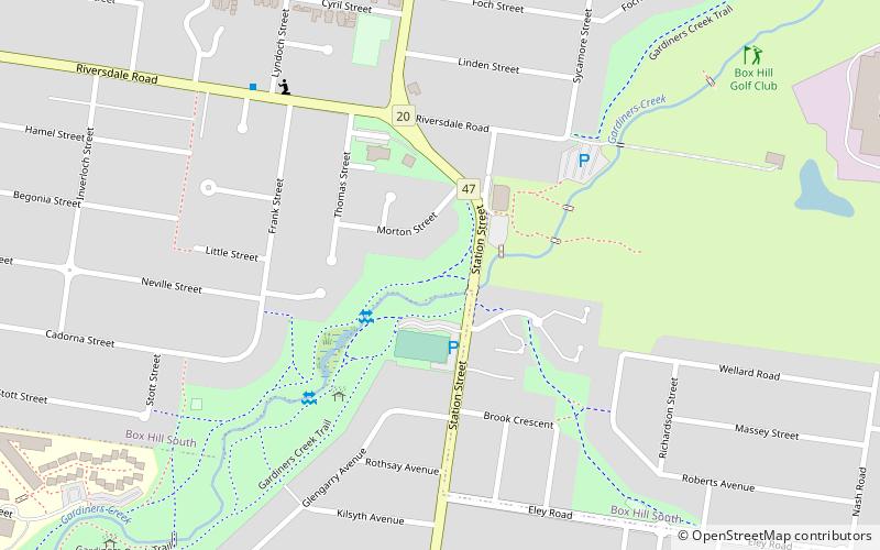
Map
Facts and practical information
Coordinates: 37°50'28"S, 145°7'16"E
Address
Whitehorse (Box Hill South)Melbourne
ContactAdd
Social media
Add
Getting there by public transportation
Public transportation stops near this location
- Bus
- Tram
 Bus
Bus
- Calculate routeElgar Road 15 min walk
- Calculate routeRiversdale Road 16 min walk
- Calculate routeStation Street 18 min walk
- Calculate routeStop 61: Elgar Road 16 min walk
- Calculate routeStop 64: Station Street 17 min walk
- Calculate routeStop 63: Deakin University 18 min walk
- Calculate routeStop 65: Starling Street 20 min walk
Maps Melbourne TramsMaps
 Victoria Trains
Melbourne TramsMapsVictoria TrainsDay trips


Frequently Asked Questions (FAQ)
How to get to Wurundjeri Walk Trail by public transport?
The nearest stations to Wurundjeri Walk Trail:
Bus
Tram
Bus
- Elgar Road • Lines: 903, Bus 903 (15 min walk)
- Riversdale Road • Lines: 767 (16 min walk)
Tram
- Stop 61: Elgar Road • Lines: 70, 70d (16 min walk)
- Stop 64: Station Street • Lines: 75, 75d (17 min walk)