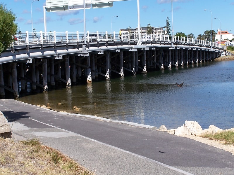
Riverton Bridge, Perth

Gallery (1)
Map
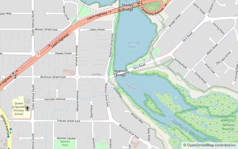
Map
Facts and practical information
Riverton Bridge is a two-lane road traffic bridge spanning the Canning River at Riverton, in Perth, Western Australia. ()
Coordinates: 32°1'40"S, 115°54'4"E
Address
RivertonPerth
ContactAdd
Social media
Add
Getting there by public transportation
Public transportation stops near this location
- Train
 Train
Train
- Calculate routeCanning Junction 23 min walk
- Calculate routeNiana Station 23 min walk
- Calculate routeWilson Park 31 min walk
Day trips


Frequently Asked Questions (FAQ)
How to get to Riverton Bridge by public transport?
The nearest stations to Riverton Bridge:
Train
Train
- Canning Junction (23 min walk)
- Niana Station (23 min walk)