Port Botany

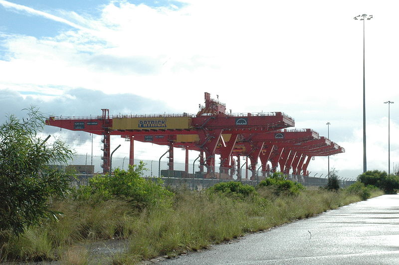
Gallery (2)
Map
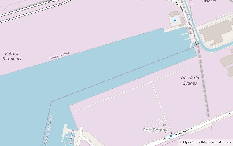
Map
Gallery
Facts and practical information
Port Botany is a deepwater seaport located in Botany Bay in Sydney, Australia. The port is dominated by trade in containerised manufactured products and, to a lesser extent, bulk liquid imports including petroleum and natural gas. It is one of Australia's largest container ports and is administered by NSW Ports which entered into a 99-year lease agreement with the Port Authority of New South Wales in May 2013. ()
Coordinates: 33°58'12"S, 151°12'54"E
Location
New South Wales
ContactAdd
Social media
Add
Day trips