Deer Park Mosque, Melbourne
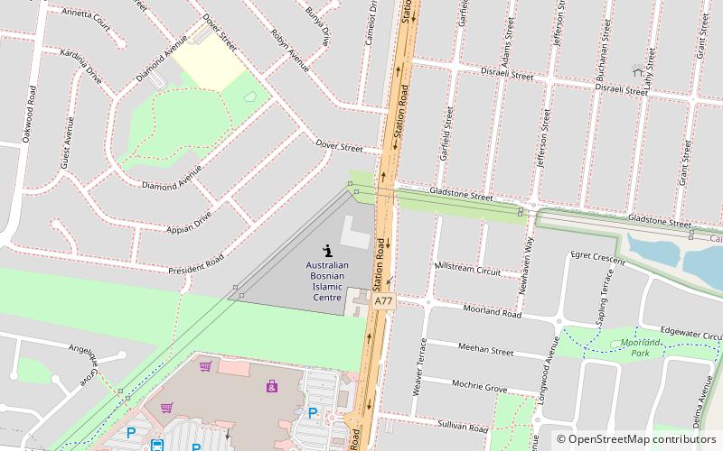
Map
Facts and practical information
Coordinates: 37°44'51"S, 144°46'41"E
Address
Brimbank (Albanvale)Melbourne
ContactAdd
Social media
Add
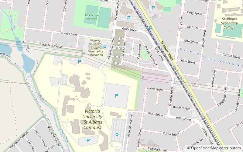
Getting there by public transportation
Public transportation stops near this location
- Train
 Train
Train
- Calculate routeSt Albans 31 min walk
Maps Melbourne TramsMaps
 Victoria Trains
Melbourne TramsMapsVictoria TrainsDay trips


Frequently Asked Questions (FAQ)
How to get to Deer Park Mosque by public transport?
The nearest stations to Deer Park Mosque:
Train
Train
- St Albans (31 min walk)