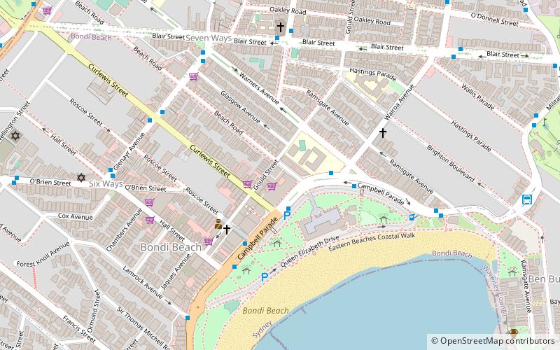
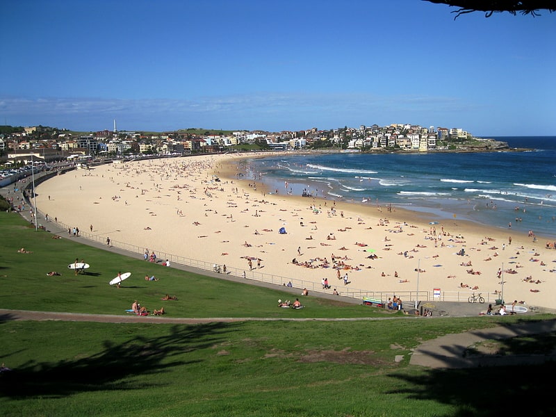
Pacific Bondi Beach, Sydney
Map
Facts and practical information
Pacific Bondi Beach is an indoor/outdoor shopping centre in the suburb of Bondi Beach in the Eastern Suburbs of Sydney. ()
Coordinates: 33°53'20"S, 151°16'33"E
Address
Eastern Suburbs (Bondi Beach)Sydney
ContactAdd
Social media
Add
Getting there by public transportation
Public transportation stops near this location
- Bus
 Bus
Bus
- Calculate routeGalilee Primary School, Blair St 7 min walk
- Calculate routeGlenayr Av Opp Warners Av 7 min walk
Maps Sydney TrainsMaps
 Sydney Light RailMaps
 Sydney Ferries
Sydney TrainsMapsSydney Light RailMapsSydney FerriesDay trips


Frequently Asked Questions (FAQ)
Which popular attractions are close to Pacific Bondi Beach?
Nearby attractions include Bondi Beach Cultural Landscape, Sydney (4 min walk), Bondi Beach Post Office, Sydney (6 min walk), St Anne's Catholic Church, Sydney (7 min walk), Sydney/Bondi Beach, Sydney (7 min walk).
How to get to Pacific Bondi Beach by public transport?
The nearest stations to Pacific Bondi Beach:
Bus
Bus
- Galilee Primary School, Blair St • Lines: 379 (7 min walk)
- Glenayr Av Opp Warners Av • Lines: 379 (7 min walk)