D'Estaville, Melbourne
Map
Facts and practical information
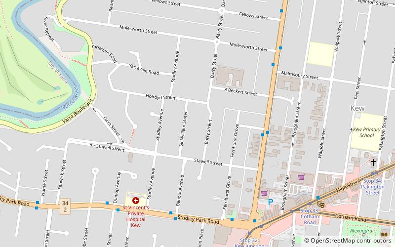
d'Estaville, also spelled D'Estaville, is a large bluestone Italianate-style heritage-listed house located at 7 Barry Street in the Melbourne suburb of Kew, Victoria, Australia. Designed by architects Knight & Kerr for politician and long term Chief Justice of Victoria, Sir William Foster Stawell, d’Estaville was completed in 1859. d’Estaville is a fine and unusual example of the Italianate style, and the only residential work of Knight & Kerr, designers of the Victorian Parliament House. ()
Architectural style: Renaissance revivalCoordinates: 37°48'14"S, 145°1'35"E
Address
Boroondara (Kew)Melbourne
ContactAdd
Social media
Add
Getting there by public transportation
Public transportation stops near this location
- Bus
- Tram
 Bus
Bus
- Calculate routeBeatrice Street/Princess Street 5 min walk
- Calculate routeBanool Avenue/Studley Park Road 6 min walk
- Calculate routeKew Junction/Studley Park Road 7 min walk
- Calculate routeMolesworth Street/Princess Street 7 min walk
- Calculate routeStop 32: Kew Junction 8 min walk
- Calculate routeStop 33: Kew Shopping Centre 8 min walk
- Calculate routeStop 33: Cotham Road 9 min walk
- Calculate routeStop 34: QPO 9 min walk
Maps Melbourne TramsMaps
 Victoria Trains
Melbourne TramsMapsVictoria TrainsDay trips


Frequently Asked Questions (FAQ)
Which popular attractions are close to D'Estaville?
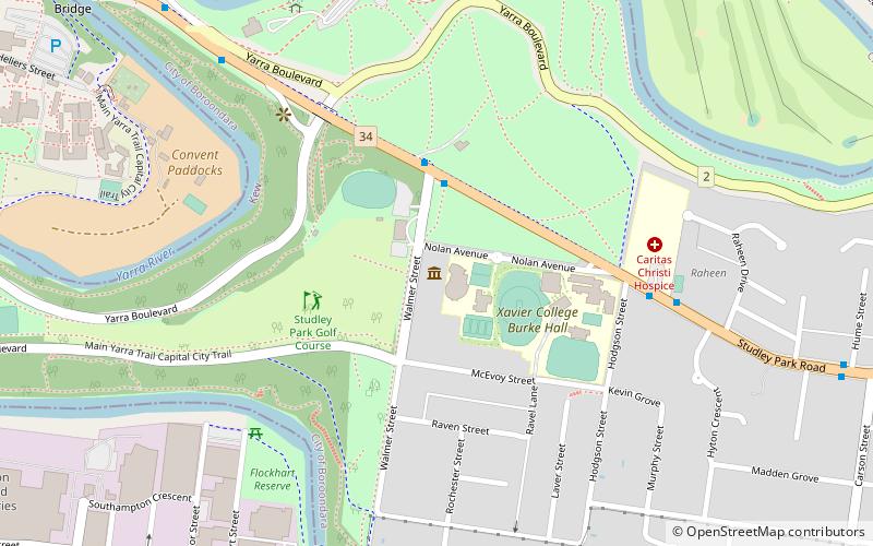
Nearby attractions include Kew (10 min walk), Kew, Melbourne (14 min walk), Raheen, Melbourne (14 min walk), Villa Alba Museum (21 min walk).
How to get to D'Estaville by public transport?
The nearest stations to D'Estaville:
Bus
Tram
Bus
- Beatrice Street/Princess Street • Lines: 200, 207 (5 min walk)
- Banool Avenue/Studley Park Road • Lines: 200, 207 (6 min walk)
Tram
- Stop 32: Kew Junction • Lines: 109, 109d, 48, 48d (8 min walk)
- Stop 33: Kew Shopping Centre • Lines: 109, 48 (8 min walk)