Stepney, Adelaide
Map
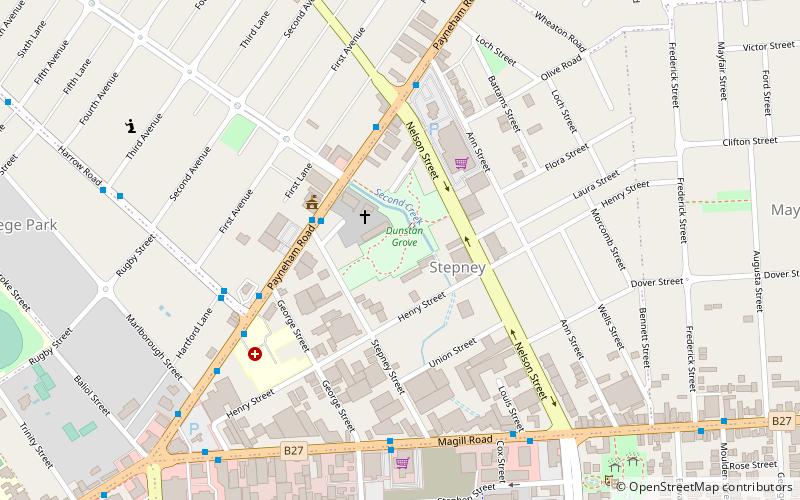
Map

Facts and practical information
Stepney is a small triangular near-city suburb of Adelaide within the City of Norwood Payneham & St Peters. Stepney contains a mix of retail, manufacturing, professional services and distribution outlets within a cosmopolitan population strongly influenced by post World War II immigration. ()
Coordinates: 34°54'43"S, 138°37'41"E
Address
StepneyAdelaide
ContactAdd
Social media
Add
Day trips
Stepney – popular in the area (distance from the attraction)
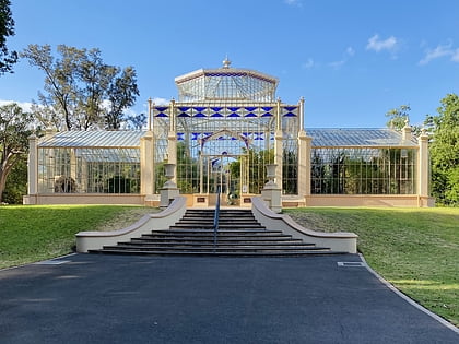
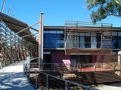
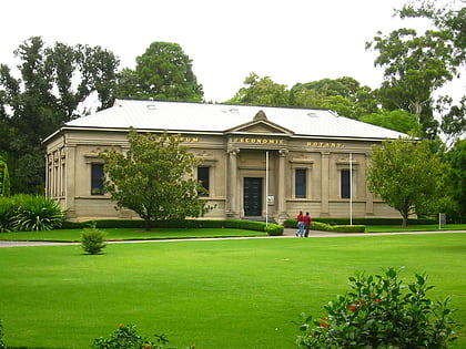
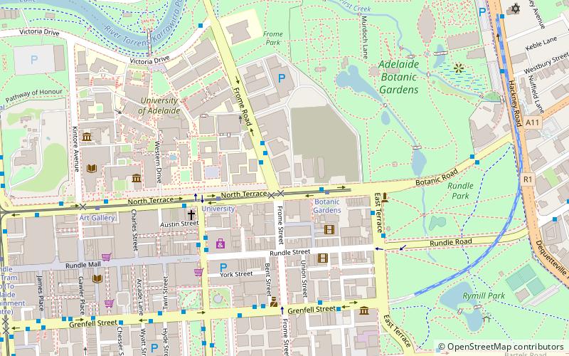
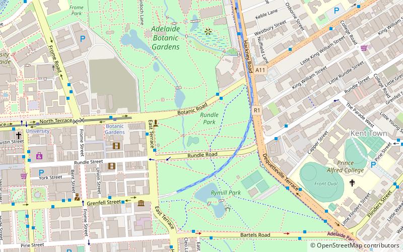
Nearby attractions include: Adelaide Zoo, Adelaide Botanic Garden, National Wine Centre of Australia, Museum of Economic Botany.
Frequently Asked Questions (FAQ)
Which popular attractions are close to Stepney?
Nearby attractions include Gagprojects / Greenaway Art Gallery, Adelaide (21 min walk), Norwood Town Hall, Adelaide (22 min walk).
How to get to Stepney by public transport?
The nearest stations to Stepney:
Tram
Tram
- Botanic Gardens (32 min walk)


