Mexikoplatz, Vienna
Map
Map

Facts and practical information
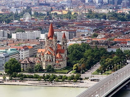
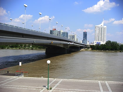
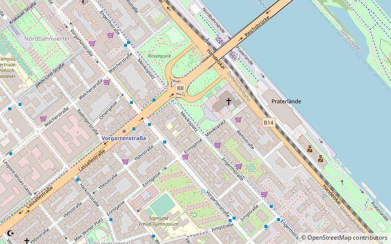
Mexikoplatz is a square in the Austrian capital Vienna. It is located in the city's 2nd district, Leopoldstadt, near the banks of the Danube, on the southwestern end of the Reichsbrücke, which links Leopoldstadt with Donaustadt, the 22nd district of Vienna. ()
Address
Mexikoplatz 20LeopoldstadtVienna
ContactAdd
Social media
Add
Day trips
Mexikoplatz – popular in the area (distance from the attraction)
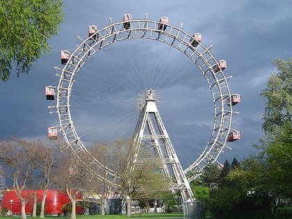
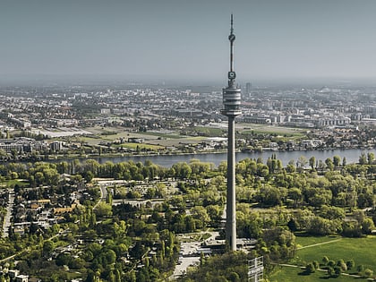
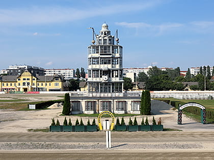
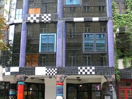
Nearby attractions include: Wurstelprater, Donauturm, Hundertwasserhaus, Trabrennbahn Krieau.
Frequently Asked Questions (FAQ)
Which popular attractions are close to Mexikoplatz?
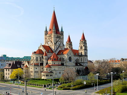
Nearby attractions include St. Francis of Assisi Church, Vienna (2 min walk), Donauinsel, Vienna (6 min walk), Reichsbrücke, Vienna (10 min walk), Madame Tussauds Wien, Vienna (15 min walk).
How to get to Mexikoplatz by public transport?
The nearest stations to Mexikoplatz:
Bus
Metro
Tram
Train
Bus
- Lassallestraße • Lines: 11A, 11B (3 min walk)
- Vorgartenstraße • Lines: 11A, 11B, N25 (3 min walk)
Metro
- Vorgartenstraße • Lines: U1 (4 min walk)
- Messe-Prater • Lines: U2 (11 min walk)
Tram
- Krakauer Straße • Lines: O (13 min walk)
- Bruno-Marek-Allee • Lines: O (16 min walk)
Train
- Wien Praterstern (17 min walk)
- Prater Hauptbahnhof (18 min walk)
