Vilsalpsee
#142 among destinations in Austria
![Vilsalpsee location map](https://tzmedia.b-cdn.net/media/images/static-maps/at/47_4635_10_5027.jpg)
Facts and practical information
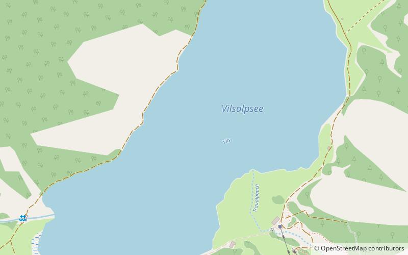
Vilsalpsee is a lake of Tyrol, Austria. ()
TyrolAustria
Vilsalpsee plan & book
Unleash the traveler in you — discover the cheapest flight deals, find the perfect hotel or hostel nearby, and search for the best car rental prices. Travel at your own pace to discover new places and enjoy your journey.
Vilsalpsee – popular in the area (distance from the attraction)
Nearby attractions include: Tannheimer Tal, Rote Flüh, Leilachspitze, Haldensee.
3 miNEWinter sport, Ski areaTannheimer Tal
76 min walk • Nestled in the heart of the Austrian Alps, Tannheimer Tal is a picturesque ski area that beckons winter sports enthusiasts from around the globe. Known for its breathtaking scenery and exceptional skiing conditions, this valley offers a serene escape into a world of...
5.5 miNENature, Natural attraction, MountainRote Flüh
141 min walk • For the "Rote Flüh" feature on the North Face of the Eiger, see Eiger. The Rote Flüh is a peak in the Tannheim Mountains, a sub-range of the Allgäu Alps. It is 2,108 metres high. The Rote Flüh is built from Wetterstein limestone.
2.7 miSENature, Natural attraction, MountainLeilachspitze
68 min walk • The Leilachspitze in the Allgäu Alps is a mountain, 2,274 m, and the highest peak in the Vilsalpsee Mountains. It lies within the Austrian state of Tyrol.
4 miNEScenic alpine lake for swimming and hikingHaldensee
101 min walk • Haldensee is a lake of Tyrol, Austria. It is located on an altitude of 1124 m ü. A. in the Tannheimer Tal between Grän and Nesselwängle and has a size of 73 hectares.
1.1 miSE 5.8 miNENature, Natural attraction, MountainGimpel Mountain
147 min walk • The Gimpel is a peak in the Tannheim Mountains, a sub-range of the Allgäu Alps. It is 2,173 m high. The name is derived from the Gimpelalpe alp in der "hollow". The Gimpel is made of Wetterstein limestone.
5.4 miNENature, Natural attraction, MountainSchartschrofen
138 min walk • The Schartschrofen is a rocky summit, 1,968 m high, in the Tannheim Mountains, a sub-group of the Allgäu Alps. It lies northwest of the Rote Flüh and south of the col of Füssener Jöchl.
5.4 miSWNature, Natural attraction, MountainGlasfelderkopf
137 min walk • Glasfelderkopf is a mountain of Bavaria, Germany.
3.8 miSNature, Natural attraction, LakeSieglsee
98 min walk • Sieglsee is the name of two adjacent lakes in Tyrol, Austria, the Große Sieglsee and the Kleine Sieglsee. They are nearly circular sinkhole lakes.
5 miSWNature, Natural attraction, MountainLärchwand
127 min walk • Lärchwand is a mountain of Bavaria, Germany. It was an exclave of Luxembourg before 1869.
2.3 miNEScenic drives, Natural attraction, Hiking trailNeunerköpfle, Tannheim
58 min walk • The Neunerköpfle is a 1862 m above sea level mountain peak in the Allgäu Alps in the Austrian state of Tyrol.