Neunerköpfle, Tannheim
#1 among attractions in Tannheim
Facts and practical information
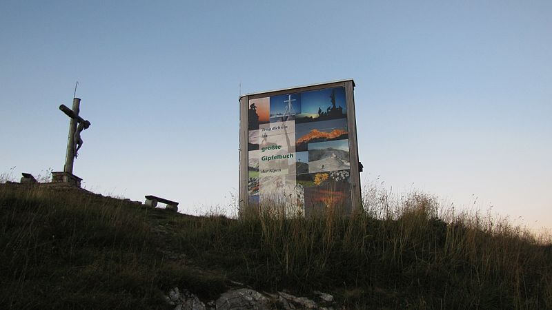
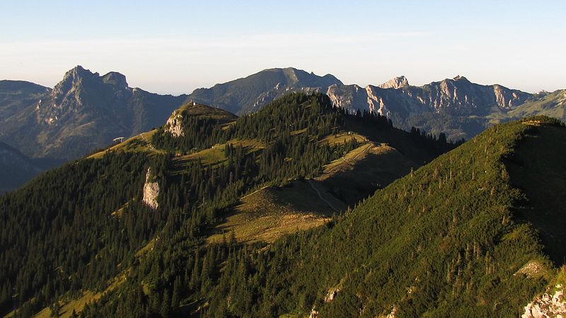
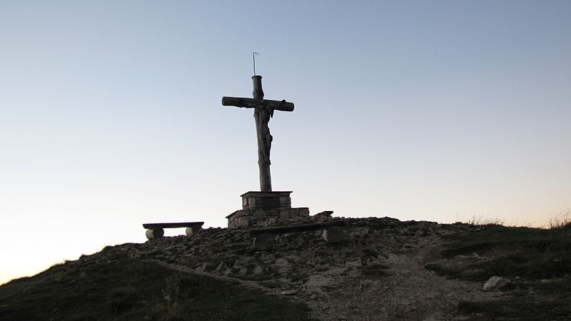
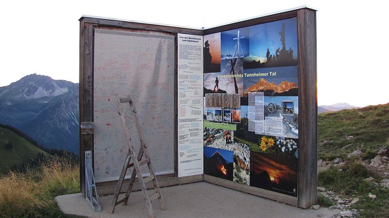
The Neunerköpfle is a 1862 m above sea level mountain peak in the Allgäu Alps in the Austrian state of Tyrol.
Neunerköpfle – popular in the area (distance from the attraction)
Nearby attractions include: Tannheimer Tal, Vilsalpsee, Rote Flüh, Vilsegg Castle.
1.3 miNWinter sport, Ski areaTannheimer Tal
32 min walk • Nestled in the heart of the Austrian Alps, Tannheimer Tal is a picturesque ski area that beckons winter sports enthusiasts from around the globe. Known for its breathtaking scenery and exceptional skiing conditions, this valley offers a serene escape into a world of...
2.3 miSW 3.3 miENature, Natural attraction, MountainRote Flüh
85 min walk • For the "Rote Flüh" feature on the North Face of the Eiger, see Eiger. The Rote Flüh is a peak in the Tannheim Mountains, a sub-range of the Allgäu Alps. It is 2,108 metres high. The Rote Flüh is built from Wetterstein limestone.
6.5 miNEForts and castlesVilsegg Castle, Vils in Tirol
165 min walk • Vilsegg Castle is a former fortification in the Austrian state of Tyrol that stands about a kilometre northwest of the little town of Vils, between Pfronten and Füssen, a few hundred metres away from the Austro-German border.
3 miSNature, Natural attraction, MountainLeilachspitze
77 min walk • The Leilachspitze in the Allgäu Alps is a mountain, 2,274 m, and the highest peak in the Vilsalpsee Mountains. It lies within the Austrian state of Tyrol.
1.7 miNEScenic alpine lake for swimming and hikingHaldensee
44 min walk • Haldensee is a lake of Tyrol, Austria. It is located on an altitude of 1124 m ü. A. in the Tannheimer Tal between Grän and Nesselwängle and has a size of 73 hectares.
6.5 miNWNature, Natural attraction, MountainSorgschrofen
167 min walk • Sorgschrofen is a 1,635-metre-tall mountain in the Allgäu Alps of Bavaria, Germany. A lower summit of Sorgschrofen is the 1,613-metre-tall Zinken. There is a summit cross on both Sorgschrofen and Zinken.
2.7 miSW 3.5 miNENature, Natural attraction, MountainGimpel Mountain
90 min walk • The Gimpel is a peak in the Tannheim Mountains, a sub-range of the Allgäu Alps. It is 2,173 m high. The name is derived from the Gimpelalpe alp in der "hollow". The Gimpel is made of Wetterstein limestone.
3.1 miNENature, Natural attraction, MountainSchartschrofen
81 min walk • The Schartschrofen is a rocky summit, 1,968 m high, in the Tannheim Mountains, a sub-group of the Allgäu Alps. It lies northwest of the Rote Flüh and south of the col of Füssener Jöchl.
4.2 miENature, Natural attraction, MountainKellenspitze
109 min walk • The Kellenspitze, often also called the Kellespitze or Köllenspitze, at 2,238 m is the highest peak in the Tannheim Mountains. It lies in the Austrian state of Tyrol.