Stubai Alps
Map

Gallery

Facts and practical information
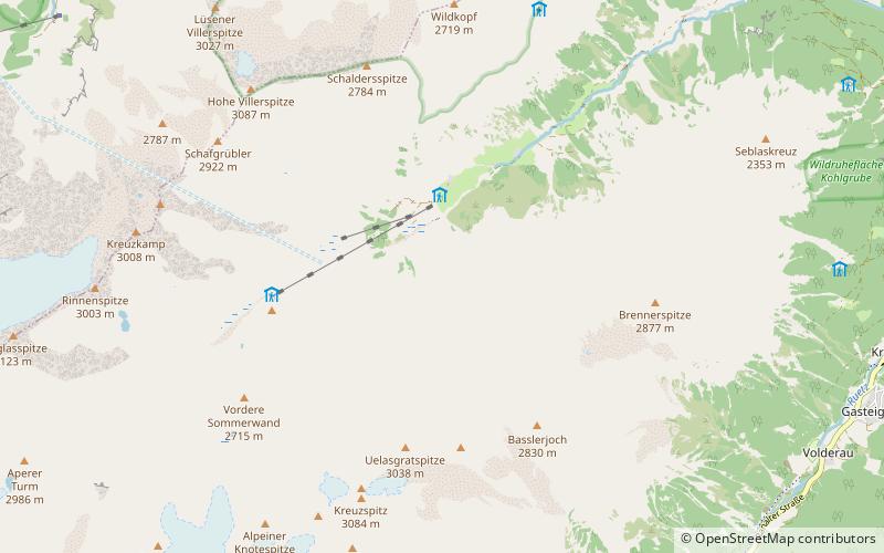
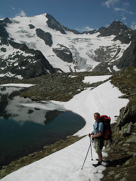
The Stubai Alps is a mountain range in the Central Eastern Alps of Europe. It derives its name from the Stubaital valley to its east and is located southwest of Innsbruck, Austria. Several peaks form the border between Austria and Italy. The range is bounded by the Inn River valley to the north; the Sill River valley and the Brenner Pass to the east; the Ötztal and Timmelsjoch to the west, and to the south by tributaries of the Passer River and Eisack. ()
Local name: Stubaier Alpen Maximum elevation: 11506 ftElevation: 11506 ftCoordinates: 47°5'13"N, 11°11'42"E
Location
Tyrol
ContactAdd
Social media
Add
Day trips
Stubai Alps – popular in the area (distance from the attraction)
Nearby attractions include: Innsbrucker Hut, Franz Senn Hut, Hoher Burgstall, Schrankogel.


