Eisack, Bolzano
Map

Map

Facts and practical information
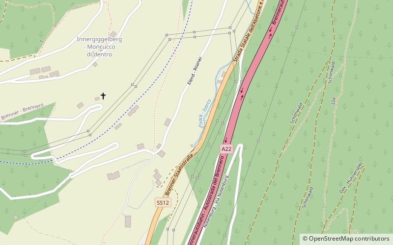
The Eisack is a river in Northern Italy, the second largest river in South Tyrol. Its source is near the Brenner Pass, at an altitude of about 1990 m above sea level. The river draws water from an area of about 4,200 km². After about 96 km, it joins the Adige river south of Bolzano. At first the river flows through the Wipptal and after the village of Vahrn through the Eisacktal. Its source is sung of in the Bozner Bergsteigerlied as the northern frontier of the South Tyrolean homeland. ()
Address
Bolzano
ContactAdd
Social media
Add
Day trips
Eisack – popular in the area (distance from the attraction)
Nearby attractions include: Reifenstein Castle, Hatzlacke, Wipptal, Brenner Pass.
Frequently Asked Questions (FAQ)
How to get to Eisack by public transport?
The nearest stations to Eisack:
Bus
Train
Bus
- Pontigl - Ponticolo • Lines: 313 (13 min walk)
- Gossensass, Bahnhof - Colle Isarco, Stazione • Lines: 313 (18 min walk)
Train
- Gossensaß - Colle Isarco (18 min walk)


