Zittelhaus
Map

Map

Facts and practical information
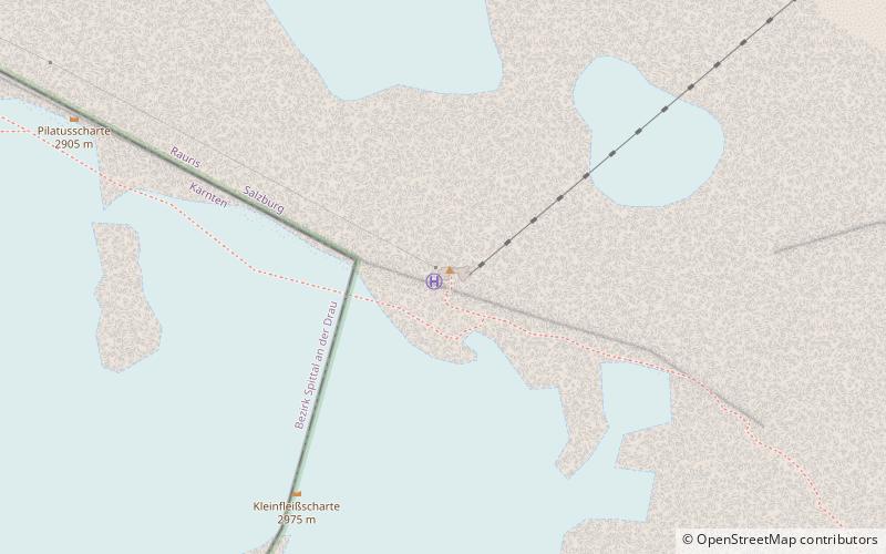
Zittelhaus is an alpine club hut of the Rauris section of the ÖAV. It is located directly on the summit of the Hohe Sonnblick at 3106 m above sea level in the Goldberggruppe in the province of Salzburg in Austria.
Coordinates: 47°3'14"N, 12°57'26"E
Day trips
Zittelhaus – popular in the area (distance from the attraction)
Nearby attractions include: Hoher Sonnblick, Schareck, Hocharn, Central Eastern Alps.


