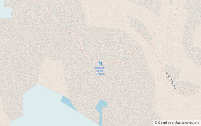
Rojacher Hütte
Map

Map

Facts and practical information
The Rojacher Hütte is a category I alpine refuge of the Rauris Section of the Austrian Alpine Club. It is located in the Goldberggruppe at an altitude of 2718 m a.s.l. about 1 km as the crow flies southeast of the summit of the Hoher Sonnblick or Zittelhaus.
Coordinates: 47°2'54"N, 12°58'8"E
Day trips
Rojacher Hütte – popular in the area (distance from the attraction)
Nearby attractions include: Hoher Sonnblick, Schareck, Hocharn, Central Eastern Alps.


