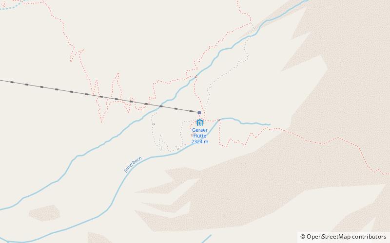
Geraer Hütte
Map

Map

Facts and practical information
The Geraer Hütte is a refuge of the Landshut Section of the German Alpine Club and is located at 2324 m above sea level in the Zillertal Alps in the Austrian province of Tyrol, southeast of Vals at the end of the Vals Valley.
Coordinates: 47°2'36"N, 11°37'40"E
Day trips
Geraer Hütte – popular in the area (distance from the attraction)
Nearby attractions include: Hintertux Glacier, Spannagel Cave, Gefrorene-Wand-Spitzen, Olperer.


