Ansbacher Hütte
#1693 among destinations in Austria
Facts and practical information
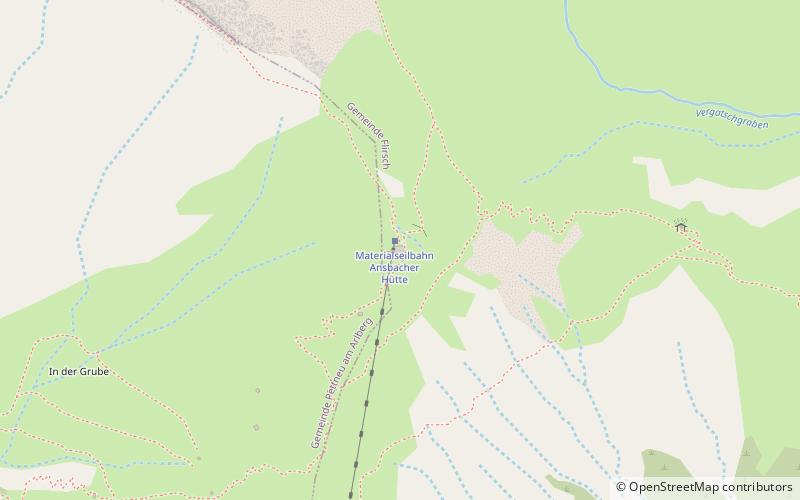
Ansbacher Hütte is an alpine club hut of the Ansbach Section of the German Alpine Club in the Lechtal Alps, Tyrol, Austria.
Ansbacher Hütte – popular in the area (distance from the attraction)
Nearby attractions include: Hoher Riffler, Parseierspitze, Feuerspitze, Wiesberg Castle.
3.9 miSNature, Natural attraction, MountainHoher Riffler
100 min walk • The Hoher Riffler is 3,168 m high and is the tallest mountain in the Verwall Alps, a mountain range in Central Eastern Alps. It is situated in the West of the Austrian state of Tyrol.
3.5 miENature, Natural attraction, MountainParseierspitze
91 min walk • Parseierspitze is, at 3,036 m tall, the highest mountain and the only three-thousander of the Northern Limestone Alps. It is the main peak of the Lechtal Alps, located in the Austrian state of Tyrol, northwest of Landeck.
2.7 miNWNature, Natural attraction, MountainFeuerspitze
70 min walk • Feuerspitze is a mountain in the Lechtal Alps of Tyrol. The elevation at its peak is 2,852 metres. Feuerspitze is located 7 kilometres southeast of Holzgau. ...
5.5 miSEForts and castlesWiesberg Castle
142 min walk • Wiesberg Castle stands above the Trisanna River, where the Paznaun Valley leads into the Stanzer Valley.
3.1 miNWNature, Natural attraction, MountainHolzgauer Wetterspitze
78 min walk • Holzgauer Wetterspitze is a mountain in the Lechtal Alps of Tyrol, Austria. The elevation at its peak is 2,895 metres. It is located in the district of Reutte, 7 kilometres south of Holzgau, for which its name is derived, and 5 kilometres east of Kaisers.
2.3 miNNature, Natural attraction, MountainFallenbacherspitze
59 min walk • The Fallenbacherspitze in the Austrian state of Tyrol is a 2,723-metre-high rock summit in the Lechtal Alps. Due to its remoteness and lack of signed routes, the mountain is not climbed very often.
4.2 miNENature, Natural attraction, MountainSeekogel
108 min walk • Seekogel is a mountain in the Lechtal Alps.
5.9 miSEChurchTobadill Church
150 min walk • Tobadill Church is a church in Tobadill, Tyrol, Austria. It is dedicated to Magnus of Füssen. It originated as a 1705 chapel, replaced by a church designed by Kassian Grießer between 1735 and 1737.
1.4 miSChurchPfarrkirche hl. Bartholomäus, Flirsch
36 min walk • The parish church of Flirsch stands on the western edge of the village in the municipality of Flirsch in the district of Landeck in Tyrol. The Roman Catholic parish church, dedicated to St.
7.3 miNWLocalitySteeg
187 min walk • One of the main attractions in Steeg is the Lechtal Valley, a paradise for hikers and nature enthusiasts. With its lush meadows, crystal-clear streams, and breathtaking mountain vistas, the valley is a haven for outdoor activities such as hiking, mountain biking,...
3.6 miWAlpine hut, HikingKaiserjochhaus
93 min walk • Kaiserjochhaus is an alpine club hut of the Leutkirch section of the German Alpine Club in the Lechtal Alps, Tyrol, Austria.