Oberwalderhütte, National parks of Austria
Map

Map

Facts and practical information
The Oberwalderhütte is a category I alpine refuge of the Austria Section of the ÖAV.
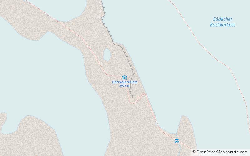
The hut is located in the eastern Glockner group at an altitude of 2973 m a.s.l. on the summit of Großer Burgstall, a rocky peak in the glacier landscape of the Pasterze. Outside the hut's operating season, a winter room is available, accessible via an AV lock, for which members of Alpine clubs can obtain a key from their section for a nominal fee.
Coordinates: 47°6'19"N, 12°42'56"E
Address
National parks of Austria
ContactAdd
Social media
Add
Day trips
Oberwalderhütte – popular in the area (distance from the attraction)
Nearby attractions include: Grossglockner, Kaiser-Franz-Josefs-Höhe, Kleinglockner, Johannisberg.


