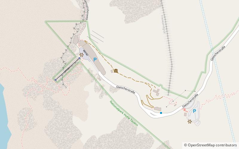
Kaiser-Franz-Josefs-Höhe, National parks of Austria
Map

Map

Facts and practical information
The Kaiser-Franz-Josefs-Höhe is part of the Grossglockner High Alpine Road. The end point of a cul-de-sac and lookout point is in Austria in the Glockner Group in Carinthia at an altitude of 2369 m above sea level. A. The Kaiser-Franz-Josefs-Höhe can only be reached by vehicle via the Grossglockner High Alpine Road, which is subject to a toll, from both Salzburg and Carinthia. ()
Address
National parks of Austria
ContactAdd
Social media
Add
Day trips
Kaiser-Franz-Josefs-Höhe – popular in the area (distance from the attraction)
Nearby attractions include: Grossglockner, Kleinglockner, Johannisberg, Teufelshorn.
Frequently Asked Questions (FAQ)
How to get to Kaiser-Franz-Josefs-Höhe by public transport?
The nearest stations to Kaiser-Franz-Josefs-Höhe:
Bus
Bus
- Großglockner Franz-Josefs-Haus • Lines: 5108 (5 min walk)


