Edmund-Graf-Hütte
Map

Map

Facts and practical information
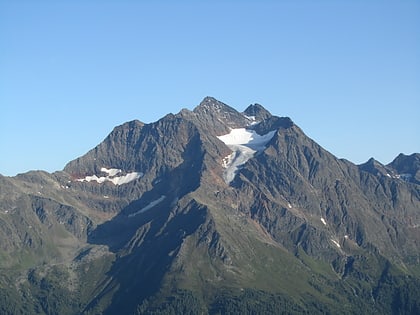
The Edmund Graf Hut is a refuge of the Tourist Club Innsbruck Section of the Austrian Alpine Club in the Verwallgruppe at 2375 m above sea level.
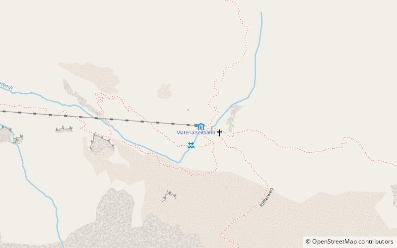
The hut is located in the eastern part of the Verwallgruppe on the upper Kapplerboden. The valley towns are Pettneu am Arlberg in the Stanzer Tal and Kappl in Paznaun. Pettneu can be reached via the Arlberg expressway, Kappl via the L 188 both by public transport and by car.
Coordinates: 47°6'22"N, 10°21'21"E
Location
Pettneu am Arlberg .290Pettneu am Arlberg 6574 Tyrol
ContactAdd
Social media
Add
Day trips
Edmund-Graf-Hütte – popular in the area (distance from the attraction)
Nearby attractions include: Hoher Riffler, Museum St. Anton, Saumspitze, Pfarrkirche St. Anton und Mariahilf.


