Niederelbehütte

Gallery (1)
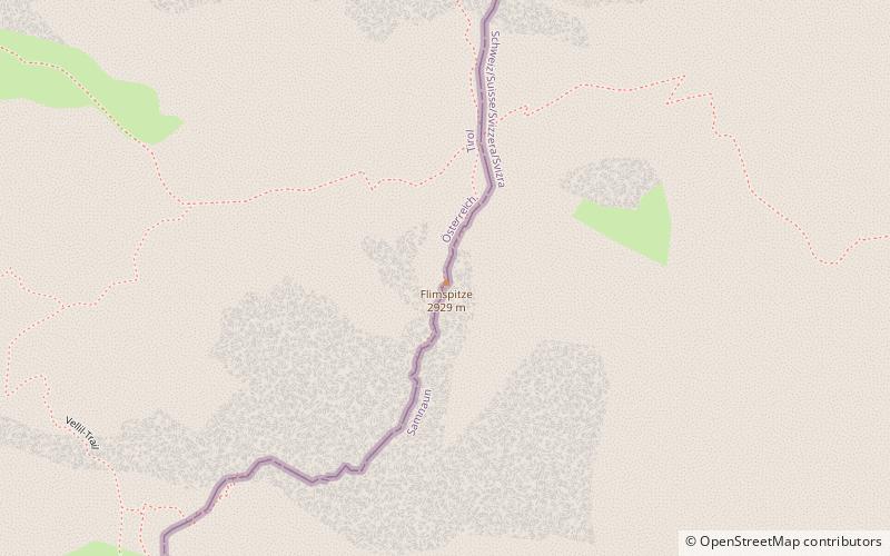
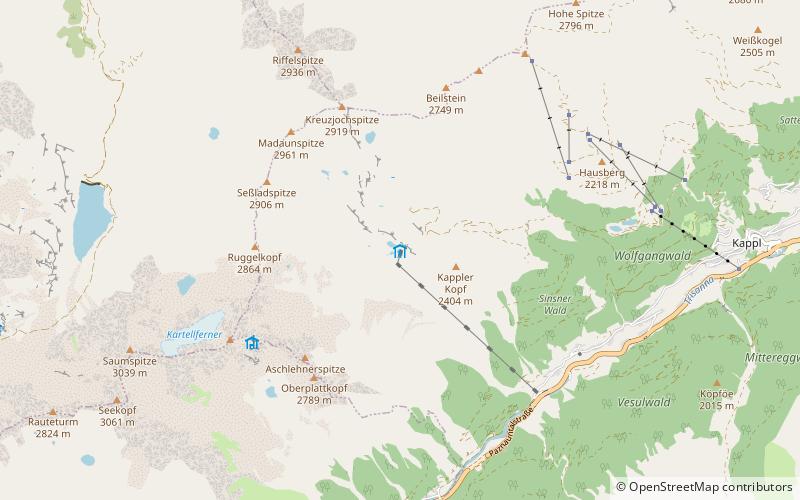
Map
Map
Facts and practical information
Niederelbehütte is a refuge of the Hamburg and Niederelbe section of the German Alpine Club. It is located in the Austrian province of Tyrol in the Verwallgruppe at an altitude of 2310 m above sea level and is managed from July to September.
Coordinates: 47°3'45"N, 10°18'58"E
Day trips