Furtschaglhaus

Gallery (1)
Map
Map
Facts and practical information
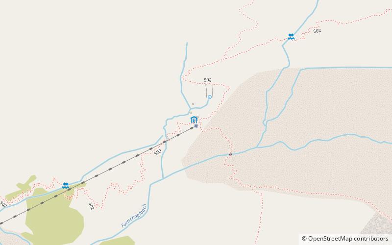
The Furtschaglhaus is a category I refuge of the Berlin Section of the German Alpine Club. The hut is located on the main ridge of the Zillertal Alps in the Austrian state of Tyrol at 2295 m above sea level, southeast above the Schlegeiss reservoir.
Coordinates: 47°0'3"N, 11°44'51"E
Day trips


