Posthof, Linz
Map

Map

Facts and practical information
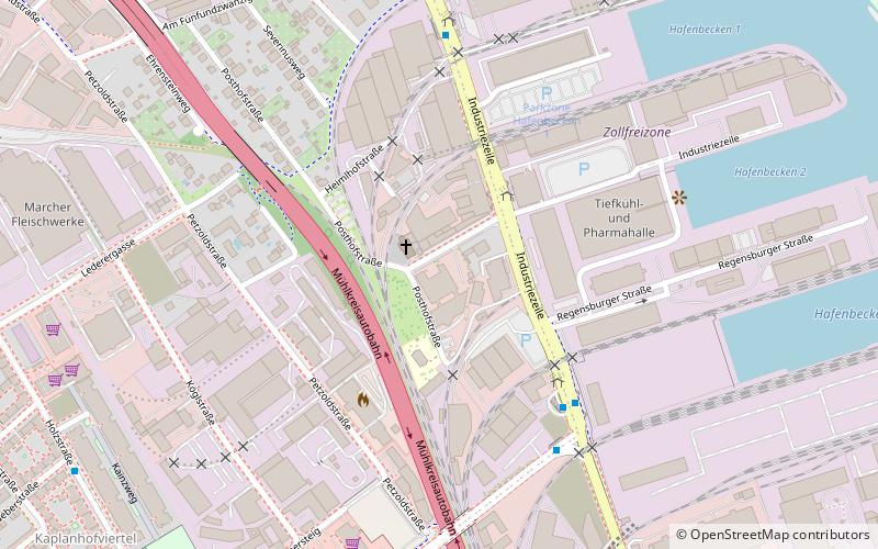
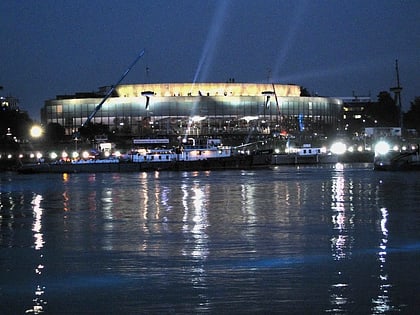
The Posthof is an event center in the port district of Linz, Upper Austria.
Coordinates: 48°18'43"N, 14°18'42"E
Day trips
Posthof – popular in the area (distance from the attraction)
Nearby attractions include: Ursuline Church of St. Michael, New Cathedral, Ars Electronica Center, Old Cathedral.
Frequently Asked Questions (FAQ)
How to get to Posthof by public transport?
The nearest stations to Posthof:
Bus
Tram
Bus
- Posthofstraße • Lines: 27, 329, 70, 72 (3 min walk)
- Hafen • Lines: 27, 70, 71, 72, 73, N83 (5 min walk)
Tram
- Peuerbachstraße • Lines: 1, 2, N82 (27 min walk)
- Wildbergstraße • Lines: 1, 2, N82 (29 min walk)


