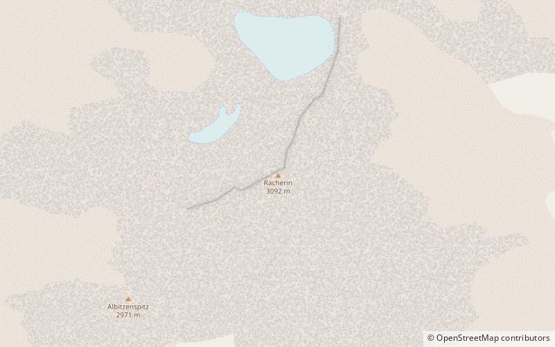
Racherin, National parks of Austria


Facts and practical information
The Racherin, a mountain with a height of 3,092 m, lies in the Glockner Group in the High Tauern range in Austria. The summit is located ca. 6 km, as the crow flies, northwest of Heiligenblut in the state of Carinthia. The unmarked and mostly trackless normal route is not difficult in snow-free and dry conditions, but is rather laborious. An ascent therefore requires a good sense of direction. In suitable weather there are good views from the top, including an impressive view of the Großglockner and the surrounding mountain world. ()
National parks of Austria
Racherin – popular in the area (distance from the attraction)
Nearby attractions include: Grossglockner, Kaiser-Franz-Josefs-Höhe, Kleinglockner, Teufelshorn.
Frequently Asked Questions (FAQ)
How to get to Racherin by public transport?
Bus
- Großglockner Karl-Volkert-Haus • Lines: 5108 (37 min walk)


