Kluisbergen
Map

Map

Facts and practical information
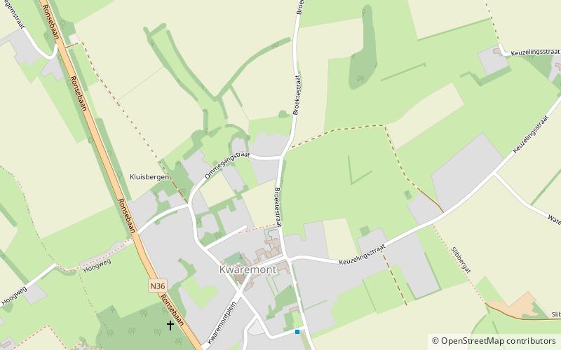
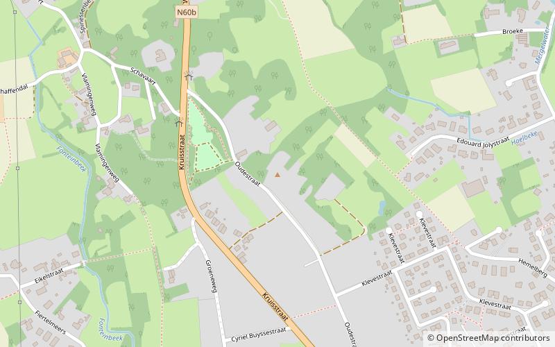
Kluisbergen is a municipality located in the Belgian province of East Flanders, along the Scheldt river. The municipality comprises the towns of Berchem, Kwaremont, Ruien and Zulzeke which fused in 1971. On January 1, 2006, Kluisbergen had a total population of 6,161. The total area is 30.38 km² which gives a population density of 203 inhabitants per km². The town of Ruien is the largest and has some outdoor facilities. Kluisbergen is also home to the "Kluisbos", a forest which has 2 ancient standing stones, dating back to Roman times. ()
Day trips
Kluisbergen – popular in the area (distance from the attraction)
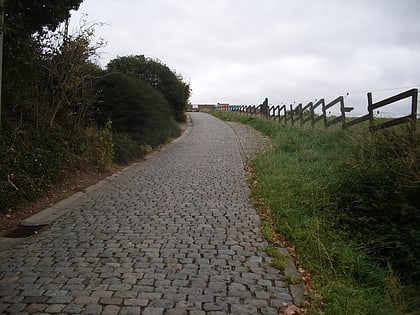
Nearby attractions include: Koppenberg, Paterberg, Oudenaarde Town Hall, Eikenberg.


