Guana Island

Map
Facts and practical information
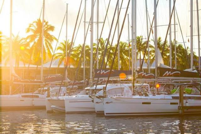
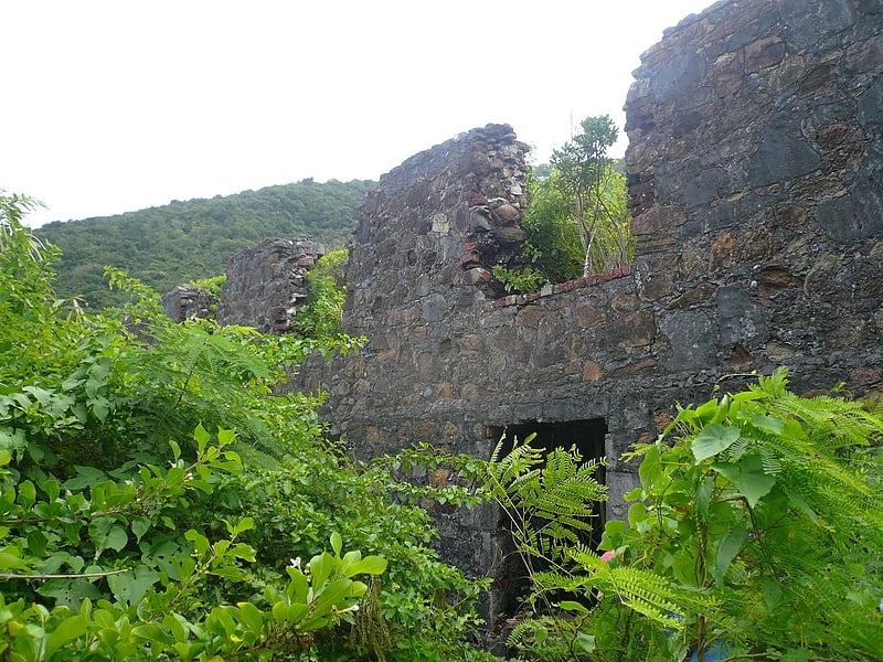
Guana Island is an island of the British Virgin Islands in the Caribbean. One of the few remaining privately owned islands in its part of the world, Guana has seven white powder-sand beaches and 850 acres of tropical forest, mountains, hills, and valleys. The island is mostly natural preserve and has a small resort. ()
Location
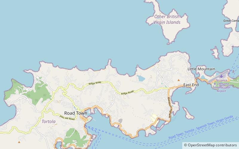
Tortola
ContactAdd
Social media
Add
Day trips