Trek Zone

Queen Elizabeth II Bridge

#7 among destinations in British Virgin Islands

Bridge
Queen Elizabeth II Bridge

Facts and practical information
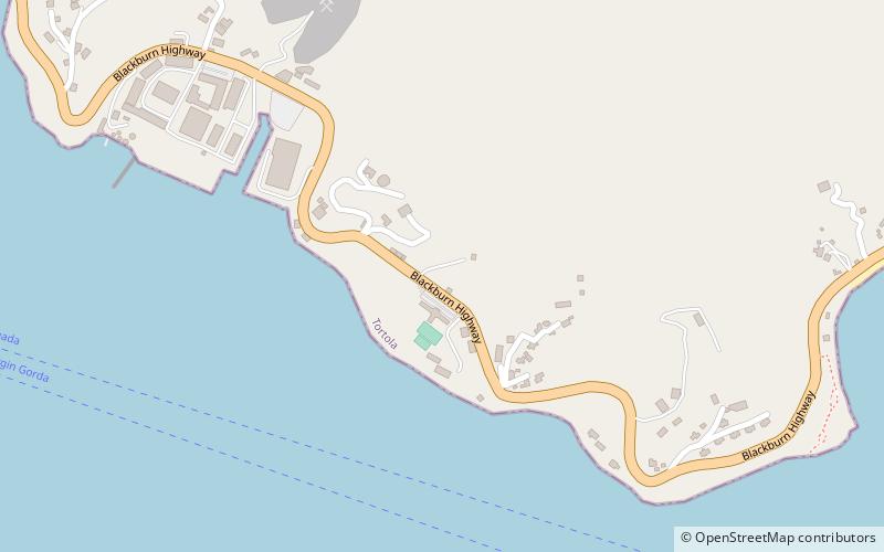
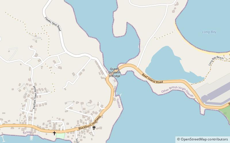
Coordinates: 18°26'40"N, 64°33'14"W
Location

TortolaBritish Virgin Islands

ContactAdd
Social media
Add

Queen Elizabeth II Bridge plan & book

Unleash the traveler in you — discover the cheapest flight deals, find the perfect hotel or hostel nearby, and search for the best car rental prices. Travel at your own pace to discover new places and enjoy your journey.

Day trips

Queen Elizabeth II Bridge – popular in the area (distance from the attraction)

Nearby attractions include: St. William's Church, The Moorings Marina, Cooper Bay ruin, Fort Charlotte.

  • st williams church road town location map
    4.5 miW
  • the moorings marina road town4.2 miW
  • cooper bay ruin tortola4.2 miW
  • fort charlotte tortola5 miSW
  • fort george road town3.7 miW
  • cooten bay ruin tortola location map
    2.9 miW
  • government house road town4.6 miSW
  • larmer bay ruin tortola4.6 miW
  • st phillips anglican church tortola location map
    3.3 miSW
  • road harbour road town location map
    4.2 miW
  • dead chest island road town5.5 miS

Where to next? Visit tortola Tortola region page or discover the top tourist attractions in British Virgin Islands.