Dead Chest Island, Road Town

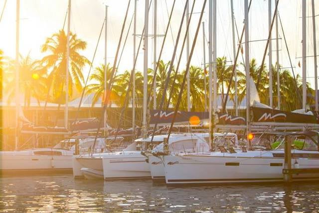
Gallery (1)
Map
Map
Facts and practical information
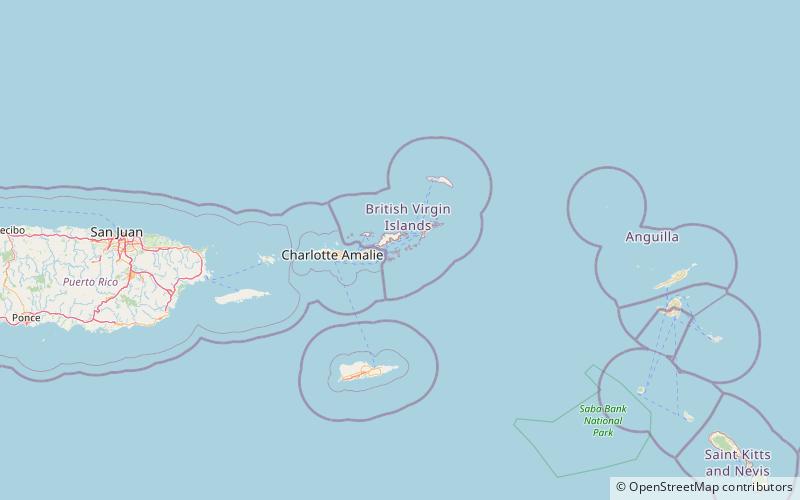
Dead Chest Island is an Island located half a mile north east of Deadman's Bay on Peter Island, British Virgin Islands. It is uninhabited, has no fresh water or trees and only sparse vegetation. It was formerly used as a firing range by the Royal Virgin Islands Police, but the opening of the nearby hotel on Peter Island coincided with the decision to build a proper firing range on the island of Tortola. The island is now an uninhabited National Park, with several popular Scuba diving and snorkeling sites. ()
Address
Road Town
ContactAdd
Social media
Add
Day trips