EY Tower, Toronto
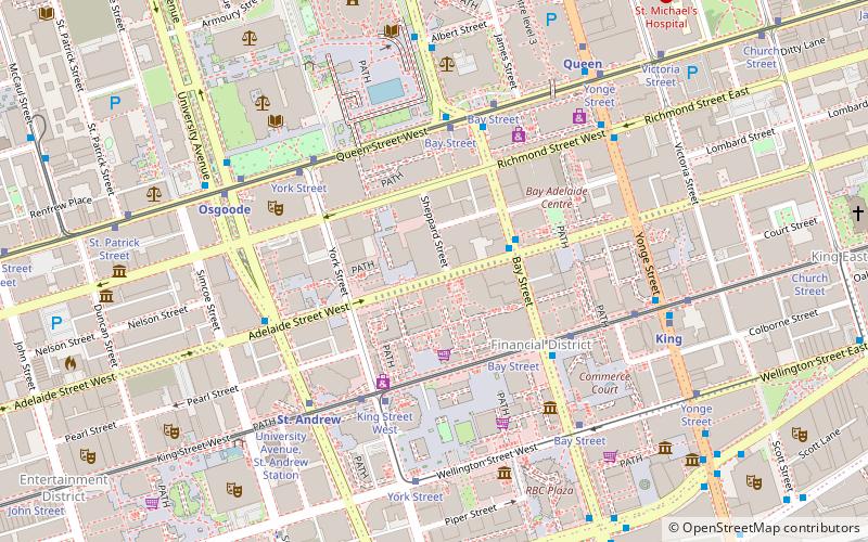
Map

Map

Facts and practical information
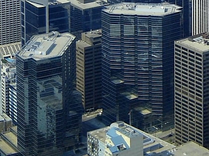
The EY Tower is a skyscraper in Toronto, Ontario, Canada at 100 Adelaide Street West. The building was designed by Kohn Pedersen Fox and WZMH Architects. ()
Completed: 2017Architectural style: Neomodern architectureHeight: 617 ftFloors: 42Coordinates: 43°38'59"N, 79°22'57"W
Day trips
EY Tower – popular in the area (distance from the attraction)
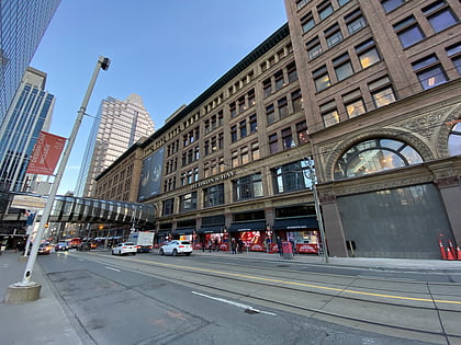
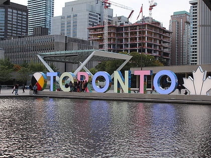
Nearby attractions include: First Canadian Place, Old City Hall, Hudson's Bay, City Hall.
Frequently Asked Questions (FAQ)
Which popular attractions are close to EY Tower?
Nearby attractions include Canada Permanent Trust Building, Toronto (2 min walk), First Canadian Place, Toronto (2 min walk), Financial District, Toronto (4 min walk), Bay Adelaide Centre, Toronto (4 min walk).
How to get to EY Tower by public transport?
The nearest stations to EY Tower:
Bus
Tram
Metro
Train
Ferry
Bus
- Adelaide Street West • Lines: 19 (3 min walk)
- King Street West • Lines: 19 (4 min walk)
Tram
- Bay Street • Lines: 501, 501;301, 503, 504A, 504B (4 min walk)
- King Street West • Lines: 503 (4 min walk)
Metro
- St. Andrew • Lines: 1 (5 min walk)
- Osgoode • Lines: 1 (6 min walk)
Train
- Toronto Union Station (10 min walk)
Ferry
- Jack Layton Ferry Terminal • Lines: Toronto Island Ferry, Ward's Island (20 min walk)
- Bathurst Street Terminal • Lines: Billy Bishop Airport Ferry (34 min walk)

 Subway
 Streetcar system
 PATH
PATH


