Mount Geoffrey Regional Nature Park, Hornby Island
Map
Facts and practical information
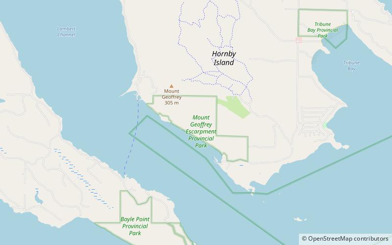
Mount Geoffrey Regional Nature Park is regional park in British Columbia, Canada, located on Hornby Island. It covers an area of 303 hectares, including the 330-metre summit of Mount Geoffrey, the highest point on the island. ()
Elevation: 764 ft a.s.l.Coordinates: 49°31'6"N, 124°41'2"W
Address
Hornby Island
ContactAdd
Social media
Add
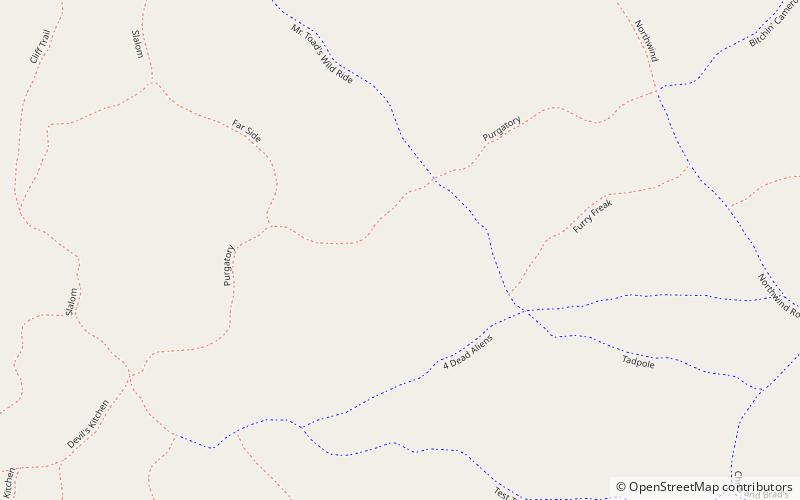
Day trips