Trek Zone

Deep Bay Marine Field Station, Lighthouse Country

#2 among attractions in Lighthouse Country

Specialty museum, Museum, Universities and schools
Deep Bay Marine Field Station

Facts and practical information

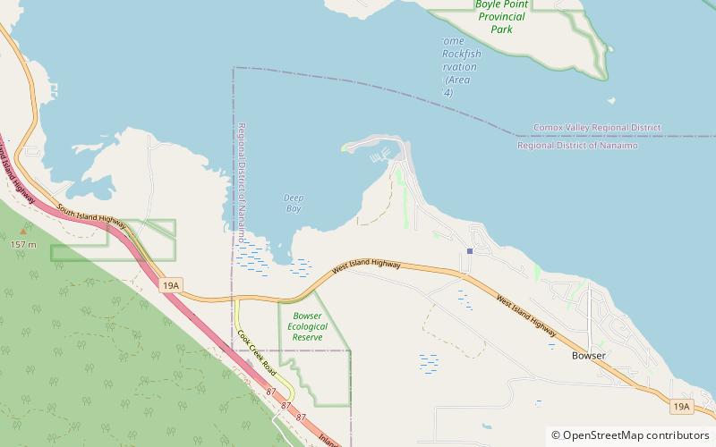
Deep Bay Marine Field Station (address: 370 Crome Point Rd) is a place located in Lighthouse Country (British Columbia province) and belongs to the category of specialty museum, museum, universities and schools.

It is situated at an altitude of 85 feet, and its geographical coordinates are 49°27'24"N latitude and 124°43'59"W longitude.

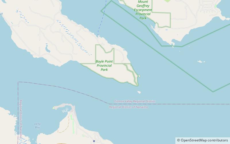
Among other places and attractions worth visiting in the area are: Rosewall Creek Provincial Park (park, 51 min walk), Boyle Point Provincial Park and Protected Area, Denman Island (park, 57 min walk), Chrome Island lighthouse, Chrome Island (lighthouse, 63 min walk).

Coordinates: 49°27'24"N, 124°43'59"W
Address

370 Crome Point RdLighthouse Country V0R 1G0 Canada

Contact
+1 250-740-6611
Social media
Add

Lighthouse Country plan & book

Unleash the traveler in you — discover the cheapest flight deals, find the perfect hotel or hostel nearby, and search for the best car rental prices. Travel at your own pace to discover new places and enjoy your journey.

Day trips

Deep Bay Marine Field Station – popular in the area (distance from the attraction)

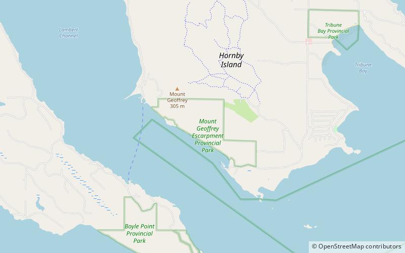
Nearby attractions include: Rosewall Creek Provincial Park, Chrome Island lighthouse, Boyle Point Provincial Park and Protected Area, Mount Geoffrey Escarpment Provincial Park.

  • rosewall creek provincial park2 miW
  • chrome island lighthouse2.4 miNE
  • boyle point provincial park and protected area denman island location map
    2.2 miNE
  • mount geoffrey escarpment provincial park hornby island location map
    4.1 miNE
  • mount geoffrey regional nature park hornby island location map
    4.8 miNE
  • fanny bay5.1 miNW

Where to next? Visit british columbia British Columbia region page or discover the top tourist attractions in Canada.