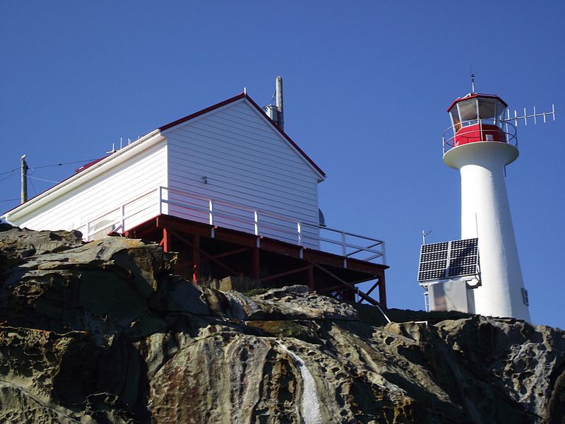
Chrome Island lighthouse, Chrome Island

Gallery (2)
Map
Map
Gallery
Facts and practical information
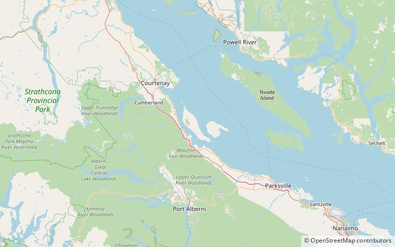
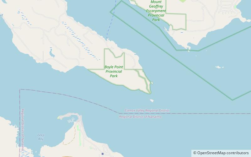
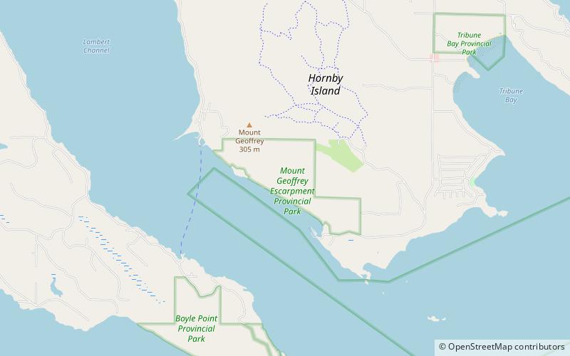
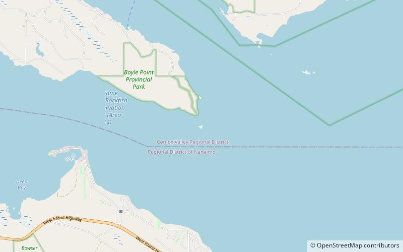
Chrome Island Lighthouse is a light station established in 1891 that assists traffic in the region of Deep Bay, British Columbia, Denman Island, and Hornby Island. It is currently a manned station, though in recent years the Canadian Coast Guard has considered converting it to fully automated status. ()
Coordinates: 49°28'20"N, 124°41'2"W
Address
Chrome Island
ContactAdd
Social media
Add
Day trips