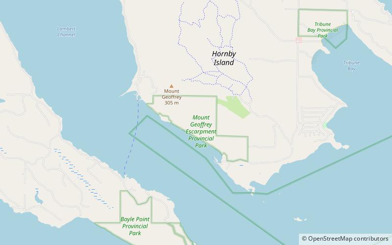
Mount Geoffrey Escarpment Provincial Park, Hornby Island
Map
Facts and practical information
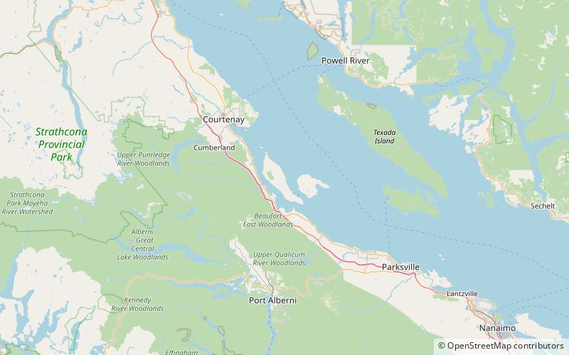
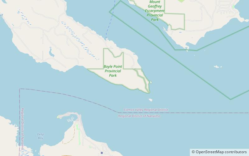
Mount Geoffrey Escarpment Provincial Park is a Class-A provincial park in British Columbia, Canada, located on the southwest coast of Hornby Island. It covers an area of 187 hectares, stretching from the Shingle Spit ferry landing in the west to Ford Cove in the east. ()
Established: 17 May 2004 (21 years ago)Coordinates: 49°30'22"N, 124°41'2"W
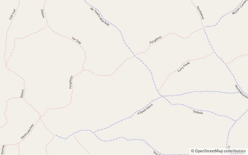
Day trips