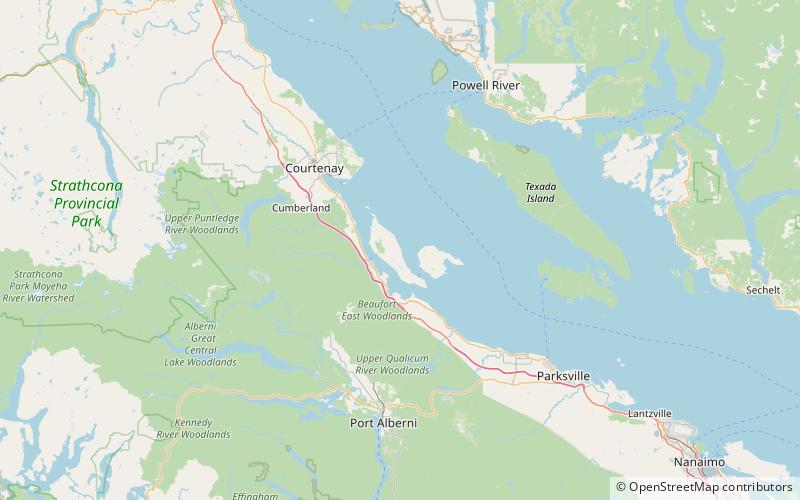
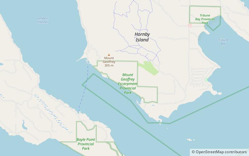
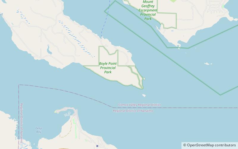
Boyle Point Provincial Park and Protected Area, Denman Island
Map
Facts and practical information
Boyle Point Provincial Park and Protected Area is a provincial park in British Columbia, Canada, located on the south end of Denman Island in the western Gulf of Georgia. ()
Elevation: 141 ft a.s.l.Coordinates: 49°28'48"N, 124°41'56"W
Day trips
Boyle Point Provincial Park and Protected Area – popular in the area (distance from the attraction)
Nearby attractions include: Fillongley Provincial Park, Deep Bay Marine Field Station, Rosewall Creek Provincial Park, Chrome Island lighthouse.