Toronto waterfront, Toronto

Gallery (4)
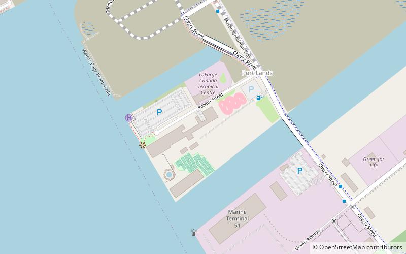
Map

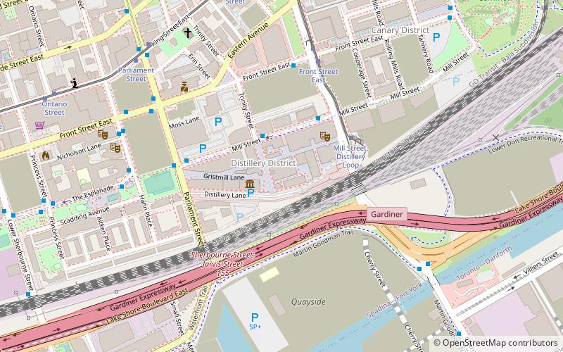
Map
Gallery
Facts and practical information
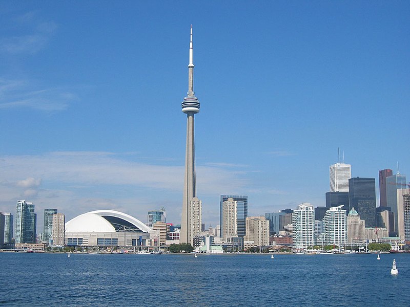
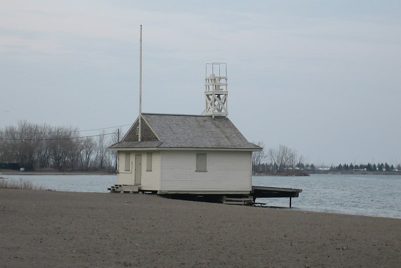
The Toronto waterfront is the lakeshore of Lake Ontario in the city of Toronto, Ontario, Canada. It spans 46 kilometres between the mouth of Etobicoke Creek in the west and the Rouge River in the east. ()
Coordinates: 43°38'52"N, 79°20'47"W
Address
Port LandsToronto
ContactAdd
Social media
Add
Getting there by public transportation
Public transportation stops near this location
- Bus
- Tram
- Ferry
 Bus
Bus
- Calculate routeBayview Avenue 14 min walk
- Calculate routeFront Street East 14 min walk
- Calculate routeCherry Street 17 min walk
- Calculate routeTrinity Street 18 min walk
- Calculate routeMill Street, Distillery Loop 15 min walk
- Calculate routeFront Street East 17 min walk
- Calculate routeBroadview Avenue 20 min walk
- Calculate routeCarroll Street 20 min walk
- Calculate routeWard's Island 33 min walk
Maps SubwayMaps
 Streetcar systemMaps
 PATH
PATH
SubwayMapsStreetcar systemMapsPATHDay trips


Frequently Asked Questions (FAQ)
Which popular attractions are close to Toronto waterfront?
Nearby attractions include 39 Commissioner Street, Toronto (6 min walk), Port Lands, Toronto (8 min walk), Cherry Street lift bridge, Toronto (10 min walk), Corktown Common, Toronto (12 min walk).
How to get to Toronto waterfront by public transport?
The nearest stations to Toronto waterfront:
Bus
Tram
Ferry
Bus
- Bayview Avenue • Lines: 121 (14 min walk)
- Front Street East • Lines: 121 (14 min walk)
Tram
- Mill Street, Distillery Loop • Lines: 504A (15 min walk)
- Front Street East • Lines: 504A (17 min walk)
Ferry
- Ward's Island • Lines: Ward's Island (33 min walk)