St. Michel Arena, Montreal
Map
Facts and practical information
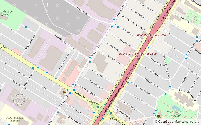
St. Michel Arena is a 2,000-seat indoor arena in Montreal, Quebec, Canada that was built in 1968. It served as the weightlifting venue of the 1976 Summer Olympics and is located about 4.4 km west of the Olympic Stadium. The capacity was temporarily raised to 2,700 for the games. ()
Coordinates: 45°33'56"N, 73°36'25"W
Address
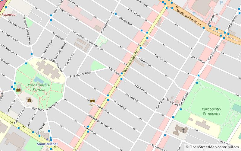
Villeray-Saint-Michel-Parc-Extension (François-Perrault)Montreal
ContactAdd
Social media
Add
Getting there by public transportation
Public transportation stops near this location
- Metro
- Bus
 Metro
Metro
- Calculate routeJarry / Joseph-Guibord 2 min walk
- Calculate routeCrémazie / Musset 4 min walk
- Calculate route17e Avenue / Jarry 5 min walk
- Calculate routeSaint-Michel 14 min walk
- Calculate routeD’Iberville 23 min walk
Maps Metro
Metro
MetroDay trips


Frequently Asked Questions (FAQ)
Which popular attractions are close to St. Michel Arena?
Nearby attractions include Little Maghreb, Montreal (16 min walk), Villeray, Montreal (20 min walk).
How to get to St. Michel Arena by public transport?
The nearest stations to St. Michel Arena:
Bus
Metro
Bus
- Jarry / Joseph-Guibord • Lines: 193-E, 193-O (2 min walk)
- Crémazie / Musset • Lines: 192-E, 192-O (4 min walk)
Metro
- Saint-Michel • Lines: 5 (14 min walk)
- D’Iberville • Lines: 5 (23 min walk)