Riverside Park, Montreal

Map
Facts and practical information
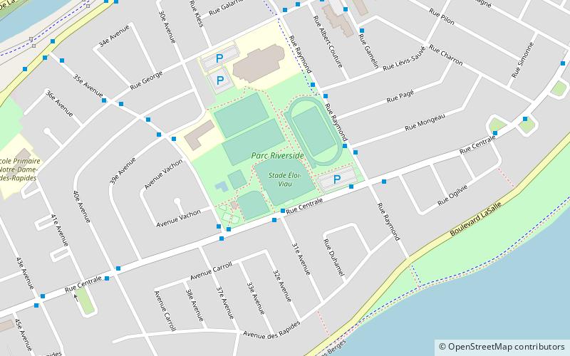
Riverside Park is a park in the LaSalle borough of Montreal, Quebec, Canada. It is bordered by Centrale Street to the south, 35e Avenue to the west, Raymond Street to the east and a school and an adult education centre to the north. ()
Elevation: 75 ft a.s.l.Coordinates: 45°25'13"N, 73°36'41"W
Day trips
Riverside Park – popular in the area (distance from the attraction)
Nearby attractions include: Carrefour Angrignon, Musée de Lachine, Concordia Stadium, Angrignon Park.
Frequently Asked Questions (FAQ)
How to get to Riverside Park by public transport?
The nearest stations to Riverside Park:
Bus
Bus
- Centrale / 31e Avenue • Lines: 110-E, 110-O, 123-N, 123-S (2 min walk)
- Raymond / Mongeau • Lines: 123-N, 123-S, 58-O (3 min walk)
 Metro
Metro


