University of Manitoba Archives & Special Collections, Winnipeg
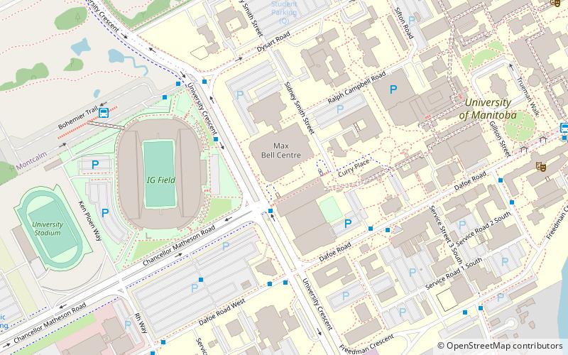
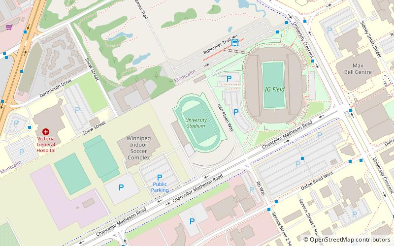
Map
Facts and practical information
The University of Manitoba Archives & Special Collections is a department of the University of Manitoba Libraries which holds historical records related to and created by the University of Manitoba. It is also a collector of private records of individuals, families, organizations and businesses. It is located in Winnipeg, Manitoba. ()
Coordinates: 49°48'28"N, 97°8'21"W
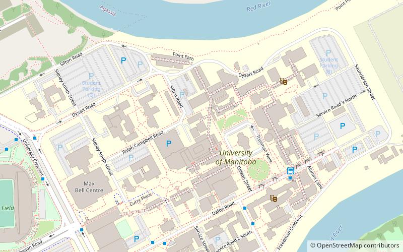
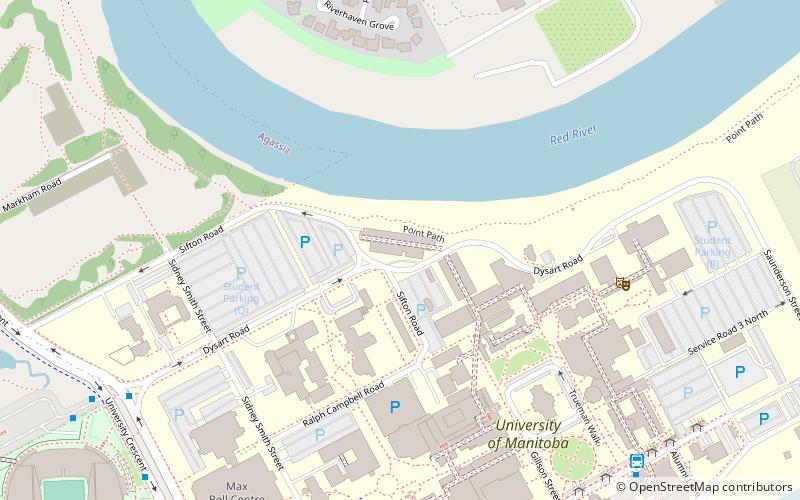
Address
Fort GarryWinnipeg
ContactAdd
Social media
Add
Getting there by public transportation
Public transportation stops near this location
- Bus
 Bus
Bus
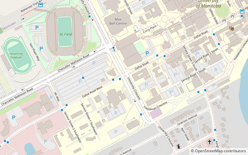
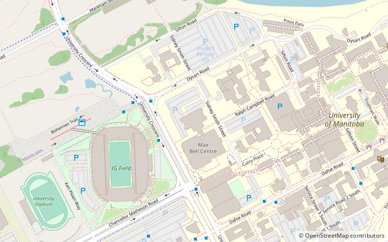
- Calculate routeNorthbound University at Chancellor Matheson 2 min walk
- Calculate routeSouthbound University at Dysart 3 min walk
- Calculate routeWestbound Dafoe at Agriculture 4 min walk
- Calculate routeEastbound Dafoe at University 4 min walk
Day trips
University of Manitoba Archives & Special Collections – popular in the area (distance from the attraction)
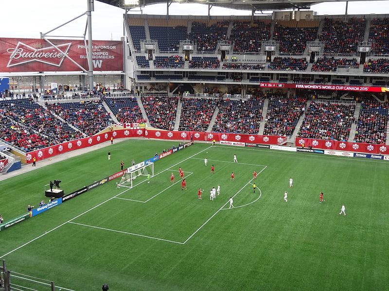
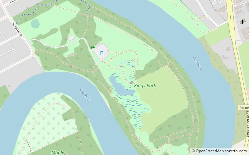
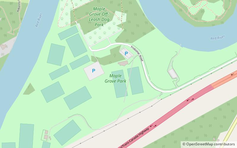
Nearby attractions include: Investors Group Field, Riel House, King's Park, Maple Grove Park.


Frequently Asked Questions (FAQ)
Which popular attractions are close to University of Manitoba Archives & Special Collections?
Nearby attractions include Fort Richmond, Winnipeg (4 min walk), Investors Group Field, Winnipeg (5 min walk), School of Art Gallery, Winnipeg (7 min walk), Ed Leith Cretaceous Menagerie, Winnipeg (8 min walk).
How to get to University of Manitoba Archives & Special Collections by public transport?
The nearest stations to University of Manitoba Archives & Special Collections:
Bus
Bus
- Northbound University at Chancellor Matheson • Lines: 36, 47, 75, 78, Blue (2 min walk)
- Southbound University at Dysart • Lines: 36, 47, 75, 78, Blue (3 min walk)