Vale of Avoca, Toronto
Map
Facts and practical information
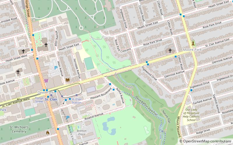
Vale of Avoca is the name of a large viaduct which carries St. Clair Avenue East over a ravine of the same name, in Toronto, Canada. Located just east of Yonge Street, the current triple arch bridge, also known as the St. Clair Viaduct, was built to connect the well-established community of Deer Park with the developing community of Moore Park in the 1920s. The bridge replaced an older structure and straightened the alignment of St. Clair Avenue in the process. ()
Coordinates: 43°41'21"N, 79°23'20"W
Address
Midtown (Moore Park)Toronto
ContactAdd
Social media
Add
Getting there by public transportation
Public transportation stops near this location
- Metro
- Bus
- Tram
 Metro
Metro
- Calculate routeSt. Clair 5 min walk
- Calculate routeLonsdale Road 18 min walk
- Calculate routePailton Crescent 19 min walk
- Calculate routeDavisville Station 19 min walk
- Calculate routeSt. Clair Station 5 min walk
- Calculate routeYonge Street 8 min walk
- Calculate routeDeer Park 13 min walk
- Calculate routeAvenue Road 17 min walk
- Calculate routeSt. Clair 7 min walk
- Calculate routeSummerhill 14 min walk
- Calculate routeDavisville 19 min walk
- Calculate routeRosedale 23 min walk
Maps SubwayMaps
 Streetcar systemMaps
 PATH
PATH
SubwayMapsStreetcar systemMapsPATHDay trips


Frequently Asked Questions (FAQ)
Which popular attractions are close to Vale of Avoca?
Nearby attractions include Hollywood Theatre, Toronto (8 min walk), David A. Balfour Park, Toronto (8 min walk), Yorkminster Park Baptist Church, Toronto (8 min walk), Loring-Wyle Parkette, Toronto (8 min walk).
How to get to Vale of Avoca by public transport?
The nearest stations to Vale of Avoca:
Bus
Tram
Metro
Bus
- St. Clair (5 min walk)
- Lonsdale Road • Lines: 13A, 13B (18 min walk)
Tram
- St. Clair Station • Lines: 512 (5 min walk)
- Yonge Street • Lines: 512 (8 min walk)
Metro
- St. Clair • Lines: 1 (7 min walk)
- Summerhill • Lines: 1 (14 min walk)