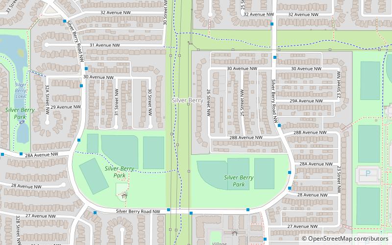
Silver Berry, Edmonton
Map
Facts and practical information
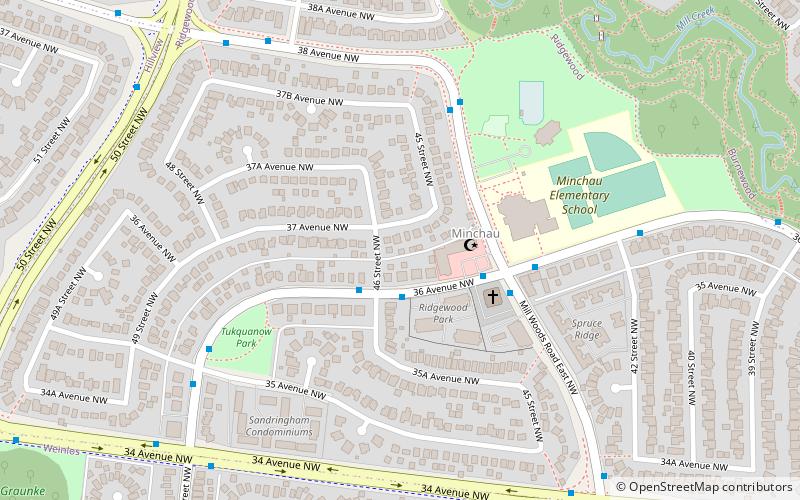
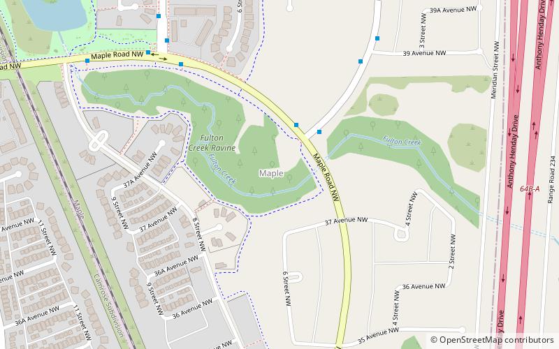
Silver Berry is a residential neighbourhood in south east Edmonton, Alberta, Canada. It is one of the neighbourhoods located within The Meadows area. ()
Area: 0.83 mi²Coordinates: 53°27'34"N, 113°22'52"W
Address
Southeast Edmonton (Silver Berry)Edmonton
ContactAdd
Social media
Add
Getting there by public transportation
Public transportation stops near this location
- Bus
 Bus
Bus
- Calculate route3608 30 min walk
Day trips
Frequently Asked Questions (FAQ)
Which popular attractions are close to Silver Berry?
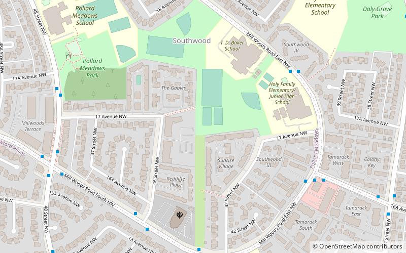
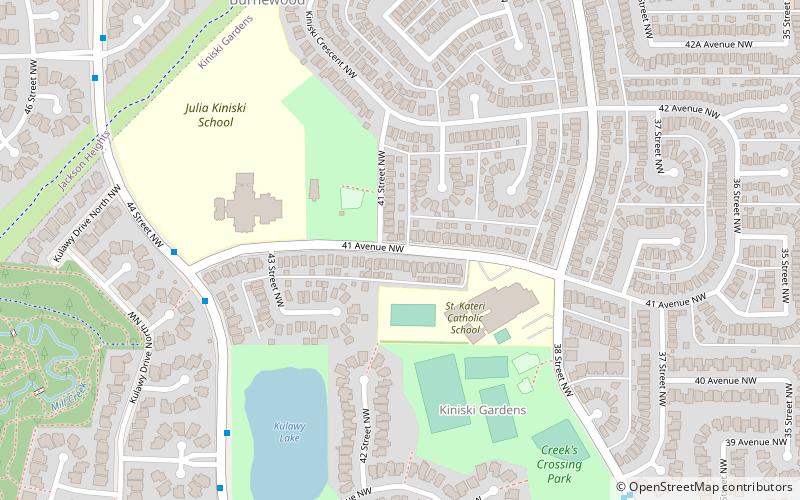
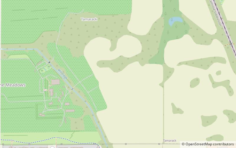
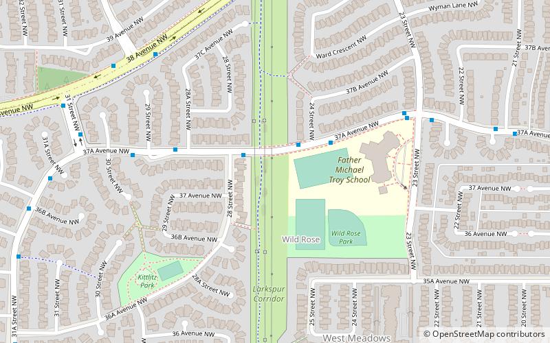
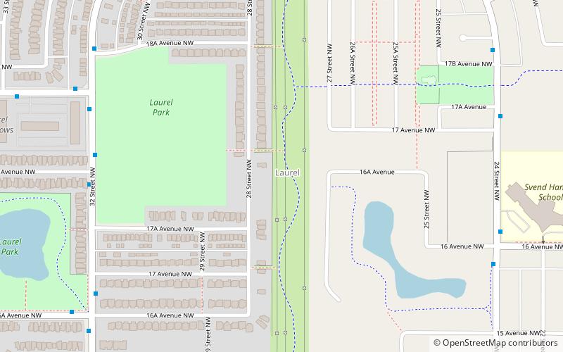
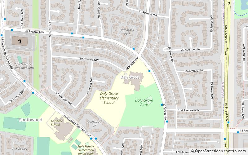
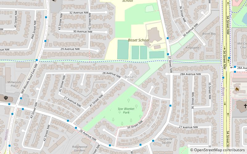
Nearby attractions include Bisset, Edmonton (21 min walk), Wild Rose, Edmonton (22 min walk), Laurel, Edmonton (24 min walk), Tamarack, Edmonton (24 min walk).
How to get to Silver Berry by public transport?
The nearest stations to Silver Berry:
Bus
Bus
- 3608 • Lines: 507 (30 min walk)