Mechanicsville, Ottawa
Map
Map

Facts and practical information
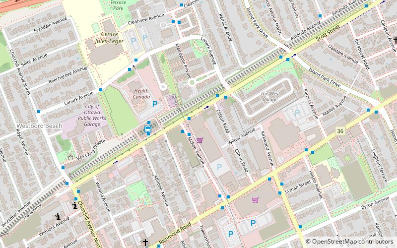
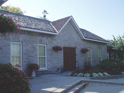
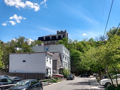
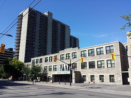
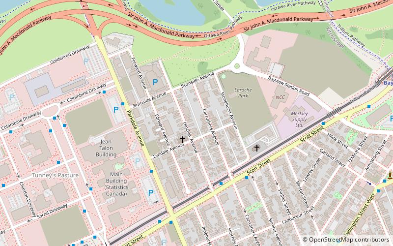
Mechanicsville is a neighbourhood in Kitchissippi Ward in central Ottawa, Ontario, Canada. It is located to the west of downtown and bordered by the Ottawa River to the north, the O-Train Trillium Line to the east, Scott Street to the south, and Parkdale Avenue to the west. East of Mechanicsville is LeBreton Flats, Tunney's Pasture is directly west, and Hintonburg is to the south. The total population of the neighbourhood as of the 2011 Census was 2,205. ()
Coordinates: 45°24'28"N, 75°43'50"W
Address
MechanicsvilleOttawa
ContactAdd
Social media
Add
Day trips
Mechanicsville – popular in the area (distance from the attraction)
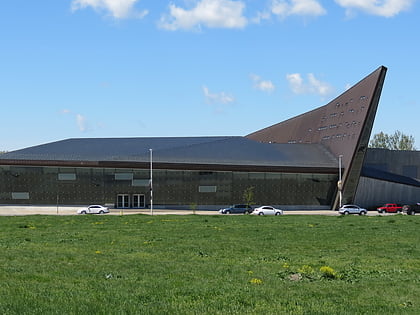
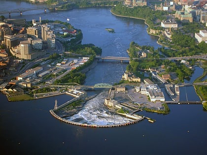
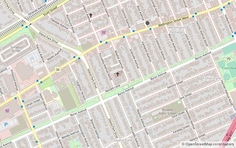
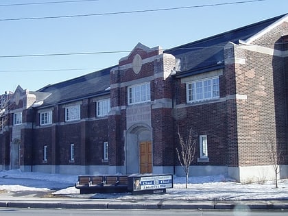
Nearby attractions include: Canadian War Museum, Chaudière Falls, St. George's Parish, Plant Bath.
Frequently Asked Questions (FAQ)
Which popular attractions are close to Mechanicsville?
Nearby attractions include Hintonburg, Ottawa (4 min walk), Protection of the Holy Virgin Memorial Church, Ottawa (4 min walk), Jean Talon Building, Ottawa (6 min walk), Tunney's Pasture, Ottawa (9 min walk).
How to get to Mechanicsville by public transport?
The nearest stations to Mechanicsville:
Bus
Light rail
Bus
- Scott / Hinchey • Lines: 16, 57, 61, 75 (4 min walk)
- Parkdale / Lyndale • Lines: 54 (4 min walk)
Light rail
- Tunney's Pasture O-Train • Lines: 1 (10 min walk)
- Bayview O-Train East/Est • Lines: 1 (11 min walk)

