Burnaby Velodrome, Burnaby
Map
Facts and practical information
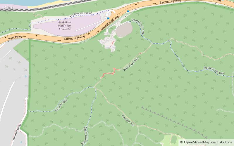
One of only three indoor bicycle racing tracks in Canada, the Burnaby Velodrome is located in Burnaby, British Columbia. It is operated by the non-profit Burnaby Velodrome Club, and is an affiliated member of Cycling British Columbia. The track is located inside the Harry Jerome Sports Centre, which is also used by Volleyball BC for game play and administration purposes. ()
Opened: 1997 (29 years ago)Coordinates: 49°17'13"N, 122°56'28"W
Getting there by public transportation
Public transportation stops near this location
- Bus
 Bus
Bus
- Calculate routeBarnet Hwy at 7500 Block 5 min walk
- Calculate routeInlet Dr at Bayview Dr 14 min walk
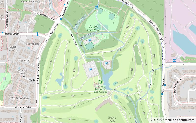
- Calculate routeBurnaby Mountain Pkwy at Burnwood Ave 18 min walk
Day trips


Frequently Asked Questions (FAQ)
How to get to Burnaby Velodrome by public transport?
The nearest stations to Burnaby Velodrome:
Bus
Bus
- Barnet Hwy at 7500 Block • Lines: 160 (5 min walk)
- Inlet Dr at Bayview Dr • Lines: 160 (14 min walk)