Cherry Street lift bridge, Toronto
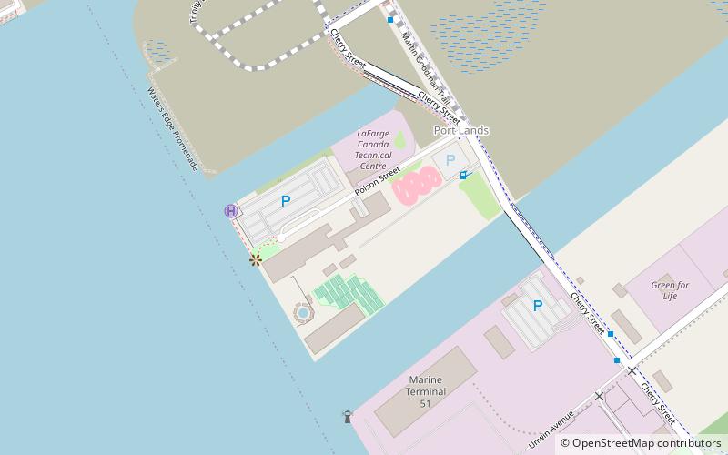
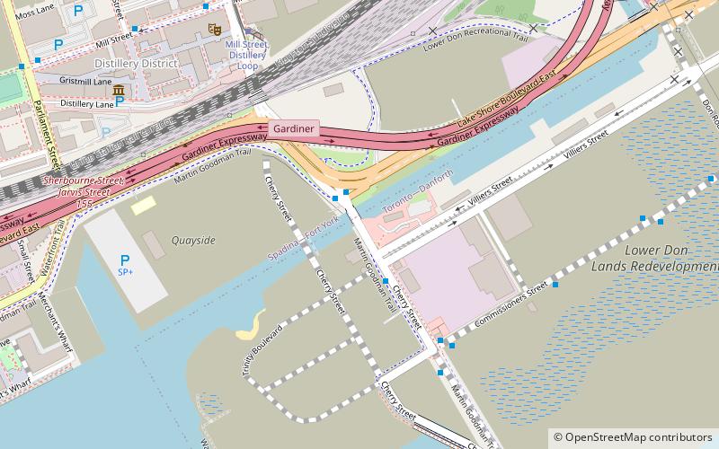
Map
Gallery
Facts and practical information
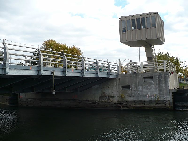
The Cherry Street lift bridge over the Keating Channel is the smaller of two bascule lift bridges on Cherry Street, in Toronto, Ontario, Canada. The bridge spans the canalized mouth of the Don River where it empties into Toronto Harbour. It is the fourth bridge at that location. ()
Completed: 1968 (58 years ago)Length: 95 ftHeight: 157 ftCoordinates: 43°38'51"N, 79°21'15"W
Address
Port LandsToronto
ContactAdd
Social media
Add
Day trips
Cherry Street lift bridge – popular in the area (distance from the attraction)
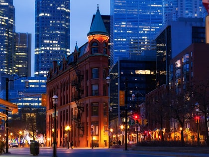
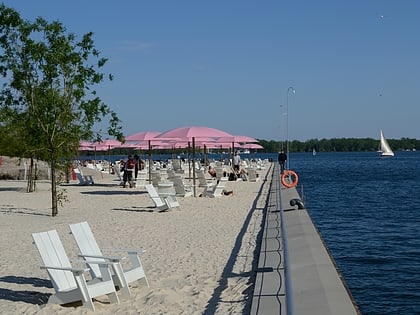
Nearby attractions include: Rebel, St. Lawrence Market, Gooderham Building, Polson Pier.
Frequently Asked Questions (FAQ)
Which popular attractions are close to Cherry Street lift bridge?
Nearby attractions include 39 Commissioner Street, Toronto (6 min walk), Distillery District, Toronto (8 min walk), Young Centre for the Performing Arts, Toronto (8 min walk), Theatre Museum Canada, Toronto (8 min walk).
How to get to Cherry Street lift bridge by public transport?
The nearest stations to Cherry Street lift bridge:
Tram
Bus
Ferry
Metro
Tram
- Mill Street, Distillery Loop • Lines: 504A (7 min walk)
- Front Street East • Lines: 504A (11 min walk)
Bus
- Trinity Street • Lines: 121 (10 min walk)
- Cherry Street • Lines: 121 (10 min walk)
Ferry
- Ward's Island • Lines: Ward's Island (29 min walk)
- Jack Layton Ferry Terminal • Lines: Toronto Island Ferry, Ward's Island (30 min walk)
Metro
- King • Lines: 1 (31 min walk)

 Subway
 Streetcar system
 PATH
PATH

