Trek Zone

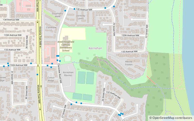
Canon Ridge, Edmonton
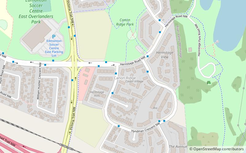
#425 among attractions in Edmonton

Neighbourhood
Canon Ridge location map
Map

Facts and practical information

Area: 128.49 acres (0.2008 mi²)Coordinates: 53°34'44"N, 113°22'44"W
Address

Northeast Edmonton (Canon Ridge)Edmonton Canada

ContactAdd
Social media
Add
Day trips

Canon Ridge – popular in the area (distance from the attraction)

Nearby attractions include: Rundle Park, Clover Bar Bridge, Bergman, Edmonton-Beverly-Clareview.

  • rundle park edmonton1.2 miS
  • clover bar bridge edmonton0.6 miSE
  • bergman edmonton location map
    1.2 miW
  • edmonton beverly clareview location map
    0.8 miN
  • rundle heights edmonton location map
    1.2 miSW
  • beverly heights edmonton location map
    1.3 miSW
  • abbottsfield edmonton location map
    0.6 miSW
  • belmont edmonton location map
    1.2 miNW
  • homesteader edmonton location map
    1.2 miW
  • beacon heights edmonton location map
    1.2 miW
  • kernohan edmonton location map
    1 miN

Frequently Asked Questions (FAQ)

Which popular attractions are close to Canon Ridge?

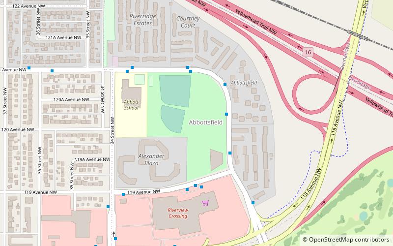
Nearby attractions include Overlanders, Edmonton (12 min walk), Abbottsfield, Edmonton (15 min walk), Clover Bar Bridge, Edmonton (16 min walk), Edmonton-Beverly-Clareview, Edmonton (20 min walk).

Where to next? Visit alberta Alberta region page or discover the top tourist attractions in Canada.