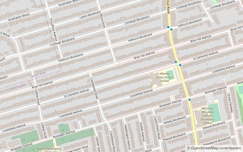
Uptown Toronto, Toronto
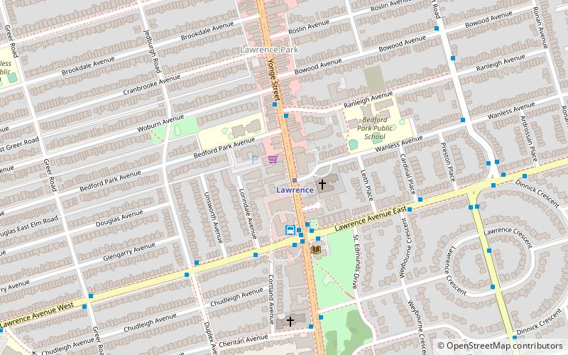
Map
Facts and practical information
Uptown Toronto is an area in Toronto, Ontario, Canada that is considered to be north of Midtown Toronto. ()
Coordinates: 43°43'35"N, 79°24'10"W
Address
Uptown (Bedford Park)Toronto
ContactAdd
Social media
Add
Getting there by public transportation
Public transportation stops near this location
- Metro
- Bus
 Metro
Metro
- Calculate routeLawrence 1 min walk
- Calculate routeLawrence 3 min walk
- Calculate routeLawrence Station 3 min walk
- Calculate routeEast side stop Yonge Street 3 min walk
- Calculate routeWest side stop Yonge Street 3 min walk
Maps SubwayMaps
 Streetcar systemMaps
 PATH
PATH
SubwayMapsStreetcar systemMapsPATHDay trips


Frequently Asked Questions (FAQ)
Which popular attractions are close to Uptown Toronto?
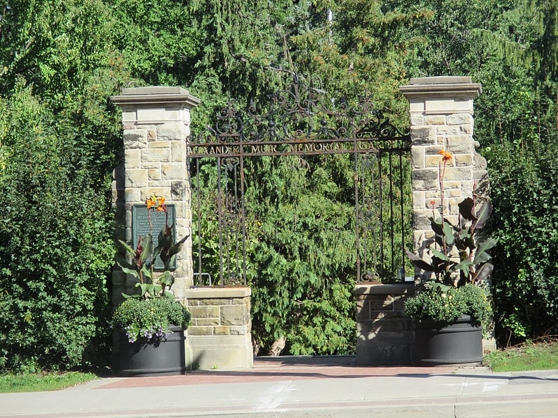
Nearby attractions include Alexander Muir Memorial Gardens, Toronto (11 min walk), Teddington Park, Toronto (14 min walk), Wanless Park, Toronto (15 min walk), Lytton Park, Toronto (19 min walk).
How to get to Uptown Toronto by public transport?
The nearest stations to Uptown Toronto:
Metro
Bus
Metro
- Lawrence • Lines: 1 (1 min walk)
Bus
- Lawrence (3 min walk)
- Lawrence Station • Lines: 124 (3 min walk)