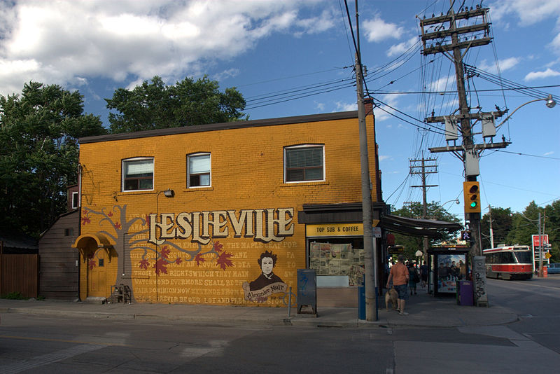
Leslieville, Toronto

Gallery (2)
Map
Map
Gallery
Facts and practical information
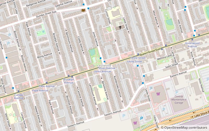
Leslieville is a neighbourhood in Toronto, Ontario, Canada, situated east of the Don River. It is bounded by the Canadian National railway line and Gerrard Street to the north, McGee Street to the west, Eastern Avenue to south, and Coxwell Avenue to the east. ()
Coordinates: 43°39'46"N, 79°19'58"W
Address
East End (Leslieville)Toronto
ContactAdd
Social media
Add
Getting there by public transportation
Public transportation stops near this location
- Metro
- Bus
- Tram
 Metro
Metro
- Calculate routeJones Avenue 1 min walk
- Calculate routeLeslie Street 4 min walk
- Calculate routeCaroline Avenue 4 min walk
- Calculate routeQueen Street East 10 min walk
- Calculate routeDorothy Street 11 min walk
- Calculate routeDundas Street East 12 min walk
- Calculate routeChester 38 min walk
Maps SubwayMaps
 Streetcar systemMaps
 PATH
PATH
SubwayMapsStreetcar systemMapsPATHDay trips


Frequently Asked Questions (FAQ)
Which popular attractions are close to Leslieville?
Nearby attractions include Maple Leaf Forever Park, Toronto (7 min walk), Pape Avenue Cemetery, Toronto (13 min walk), Ashbridge Estate, Toronto (15 min walk), De Grassi Street, Toronto (18 min walk).
How to get to Leslieville by public transport?
The nearest stations to Leslieville:
Tram
Bus
Metro
Tram
- Jones Avenue • Lines: 501, 501;301, 502, 503 (1 min walk)
- Leslie Street • Lines: 501, 501;301 (4 min walk)
Bus
- Queen Street East • Lines: 31A, 31B (10 min walk)
- Dorothy Street • Lines: 31A, 31B (11 min walk)
Metro
- Chester • Lines: 2 (38 min walk)